
The power company was shutting off power to our end of the island today from 9 – 4. It’s island life, nothing you can do about it and you are given warning. Word of advice if you travel to an island or anywhere for an extended period of time, follow the local power company on socials.
What to do for the entire day? Go south of course, that end has power if we need anything.
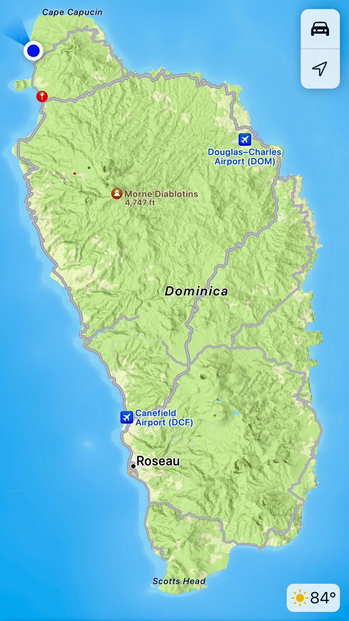
We went from tip to tip. The island is 29 miles long, but following the road it was 45 miles and took us 1.5 hours to make it.
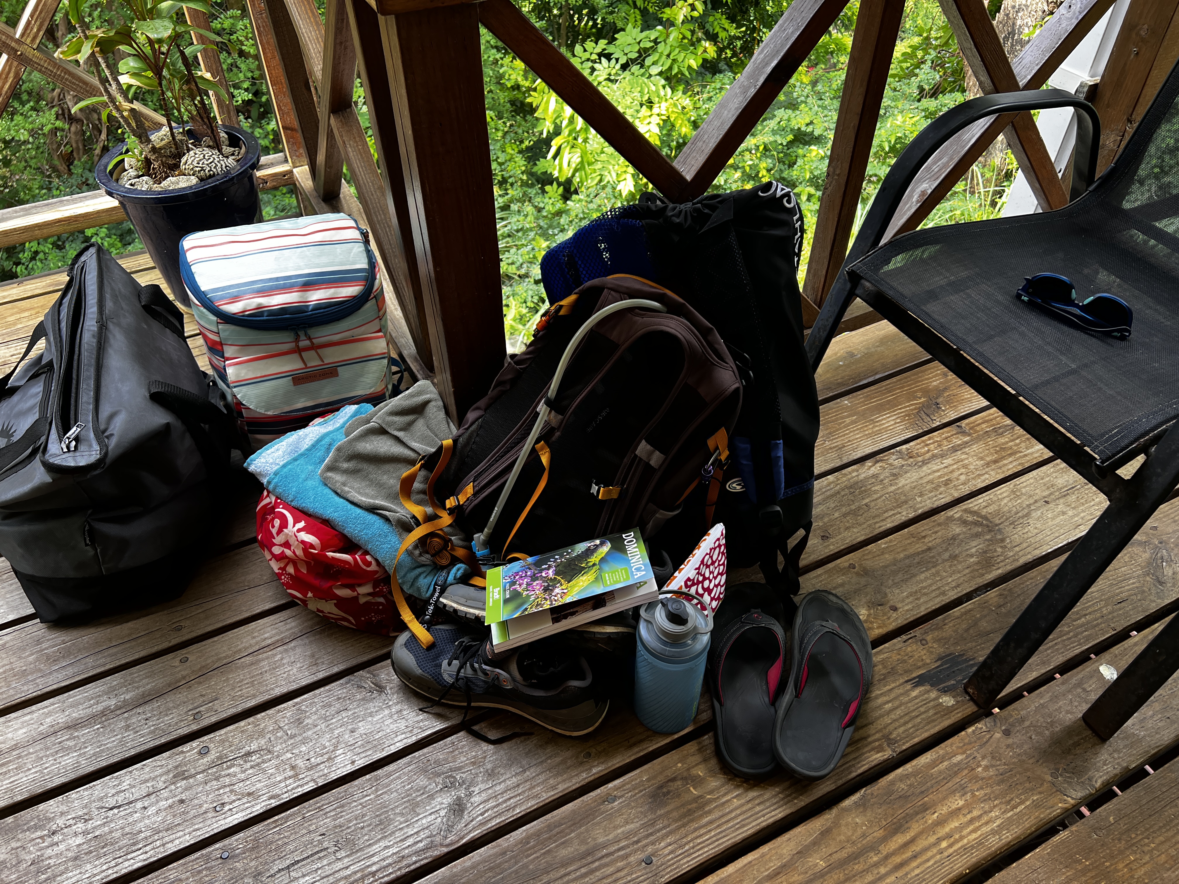
We packed up our bags and went south.
Here is all the gear for the day, one cooler for lunch, one for cold grocery items, change of clothes and shoes, hiking backpack and snorkel gear.
First stop was the IGA in Roseau. Guess what we learned today? You can park in Roseau on a Sunday. Everyone is at church and no one does their grocery shopping Sunday morning.
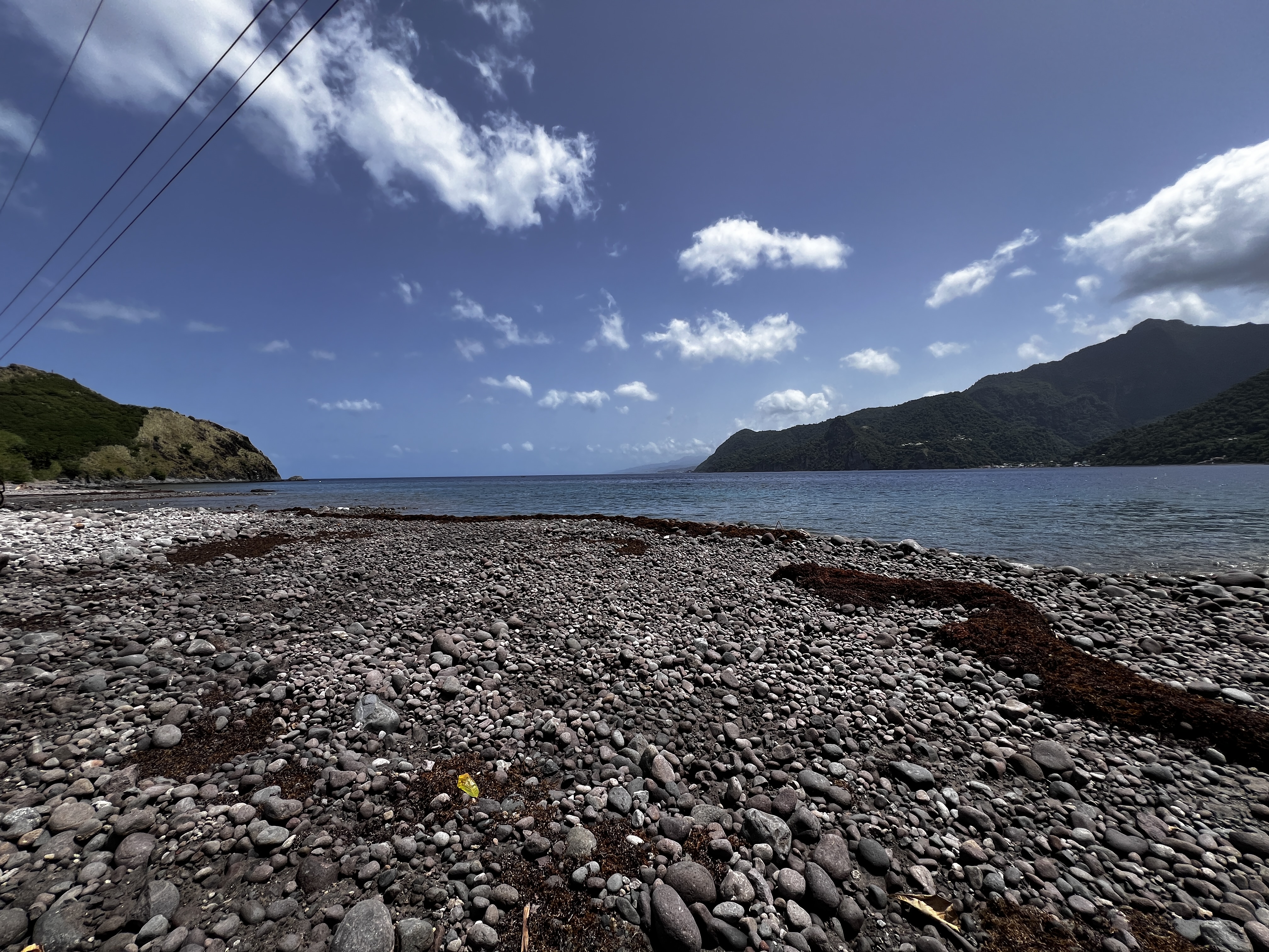
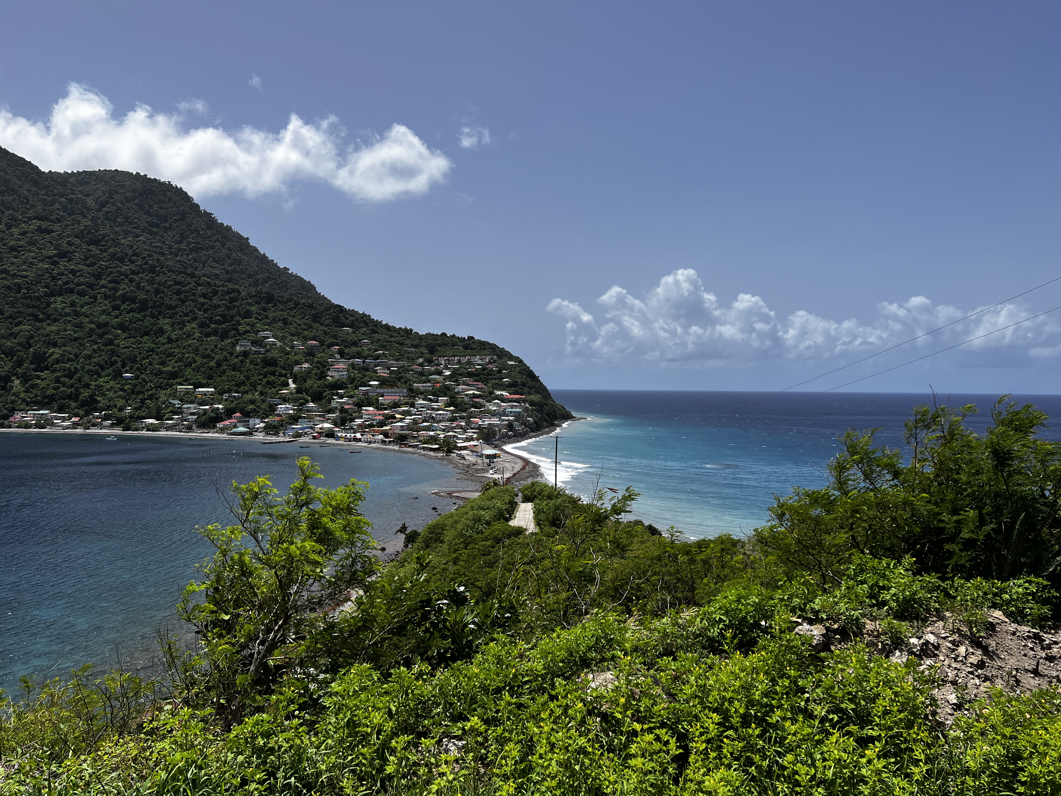
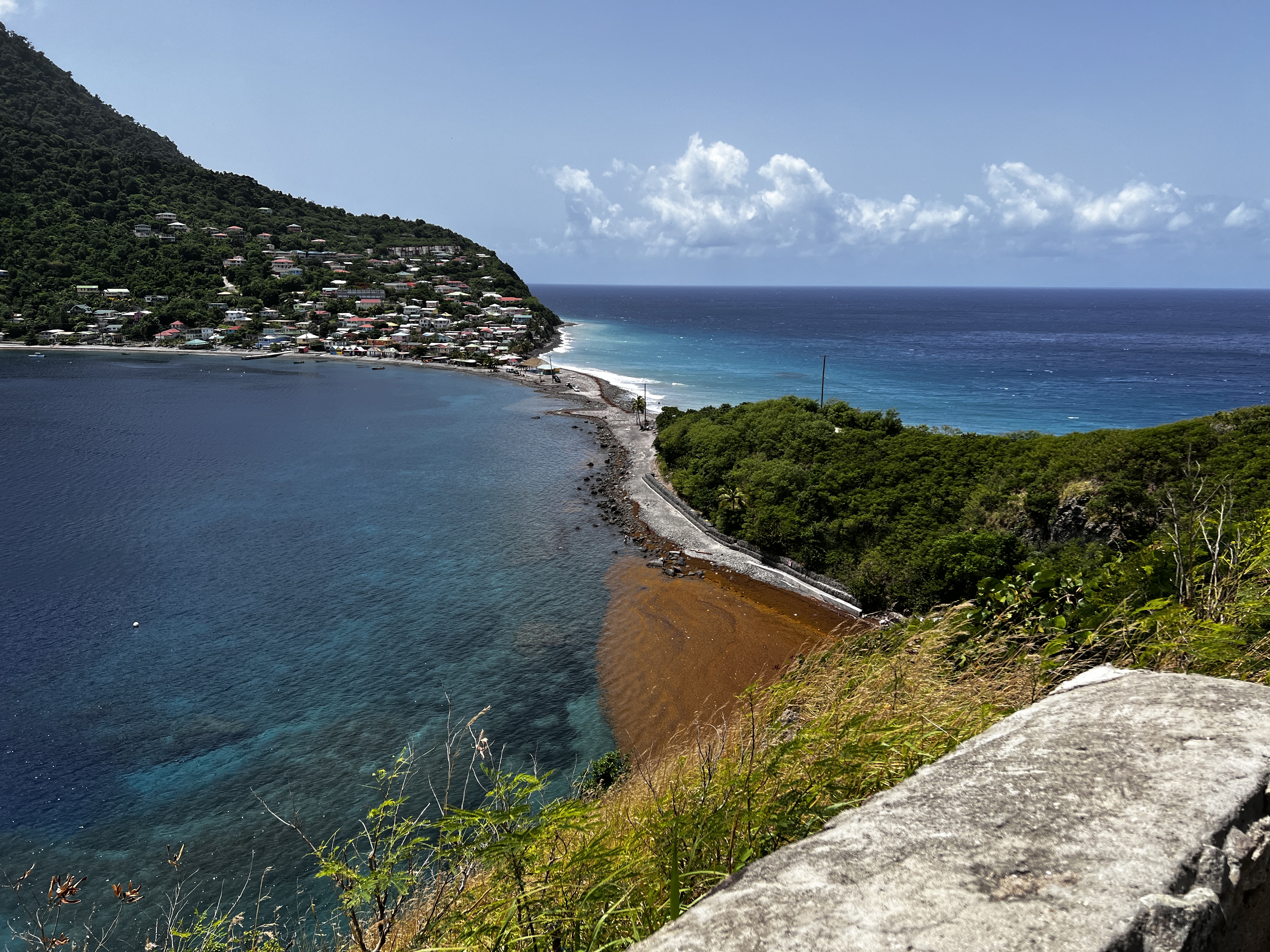
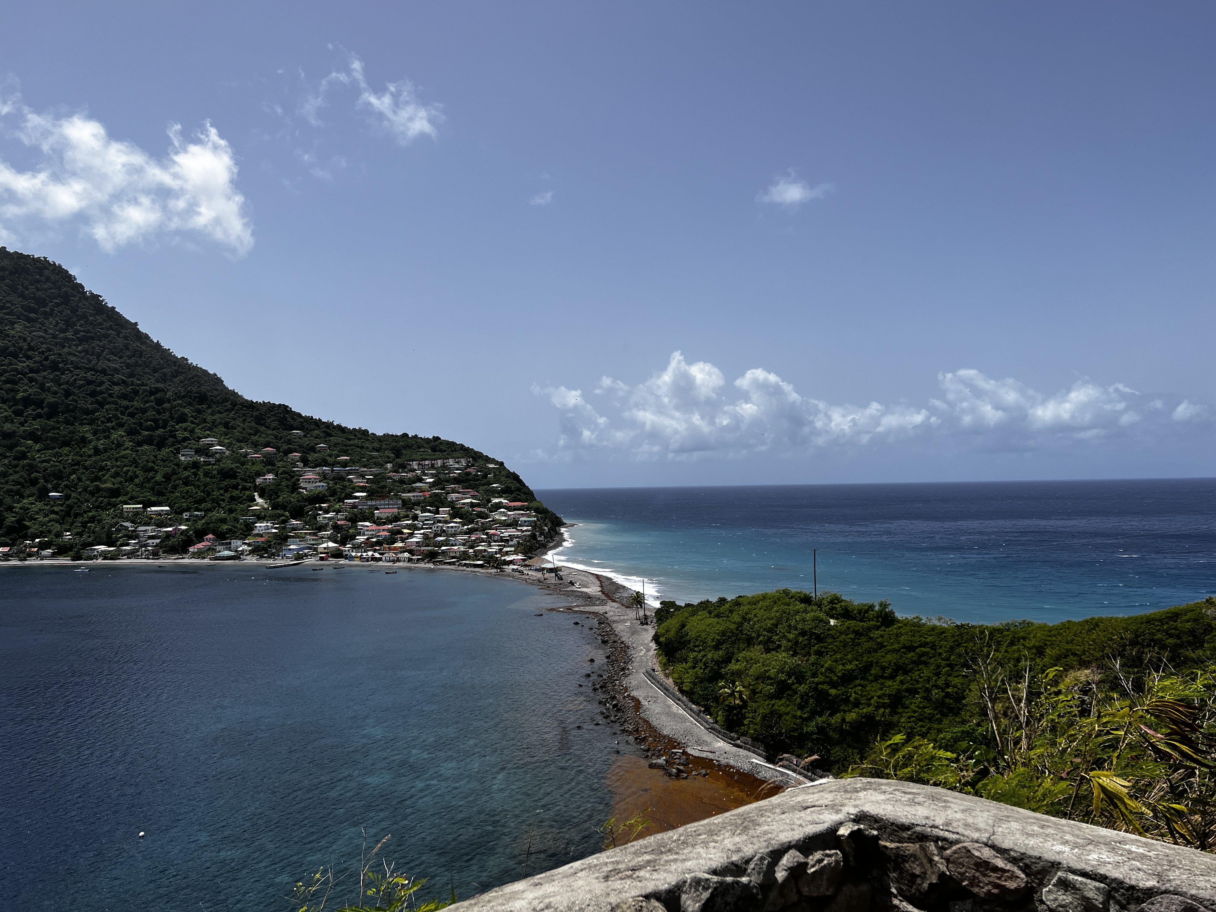
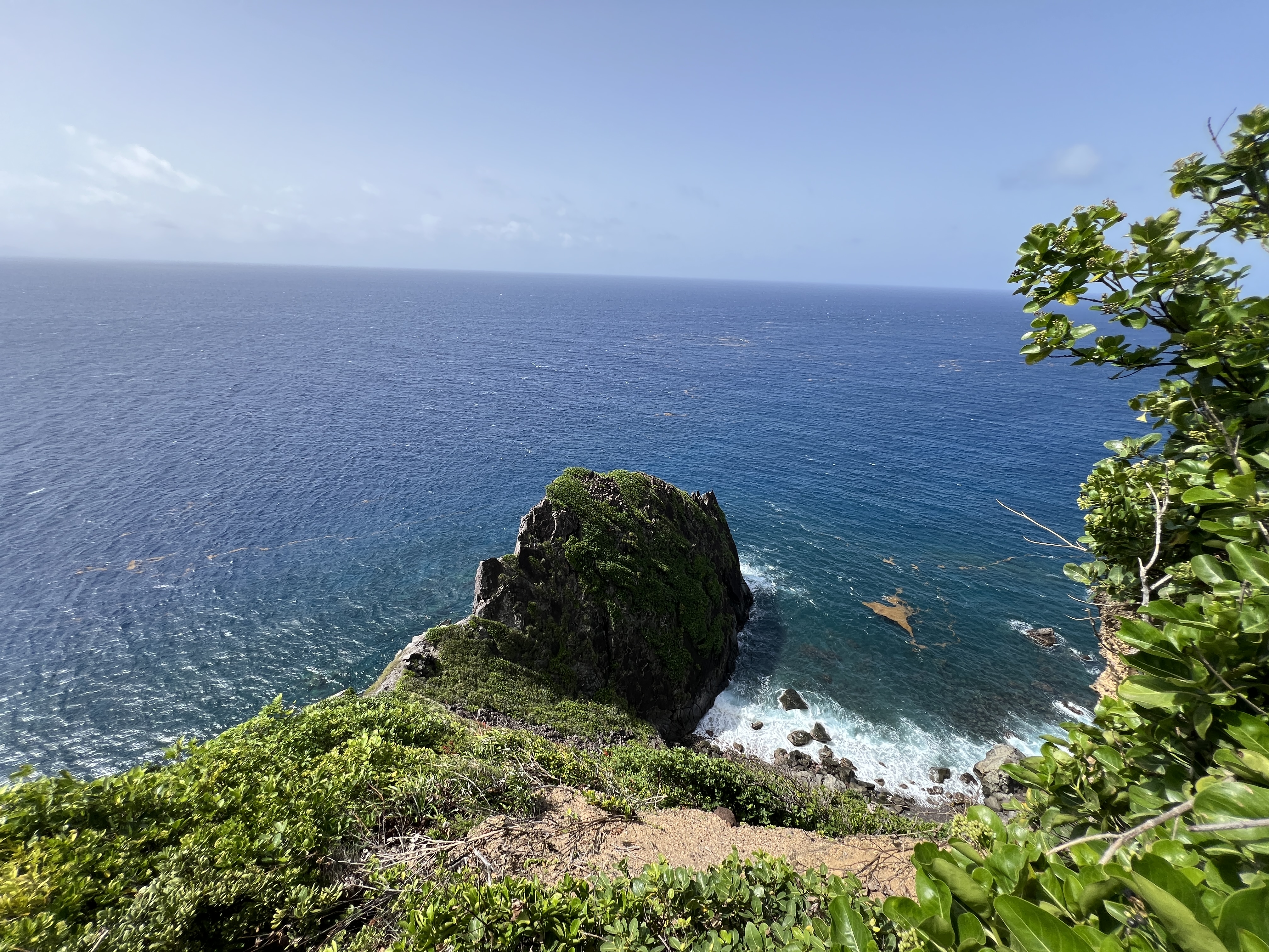
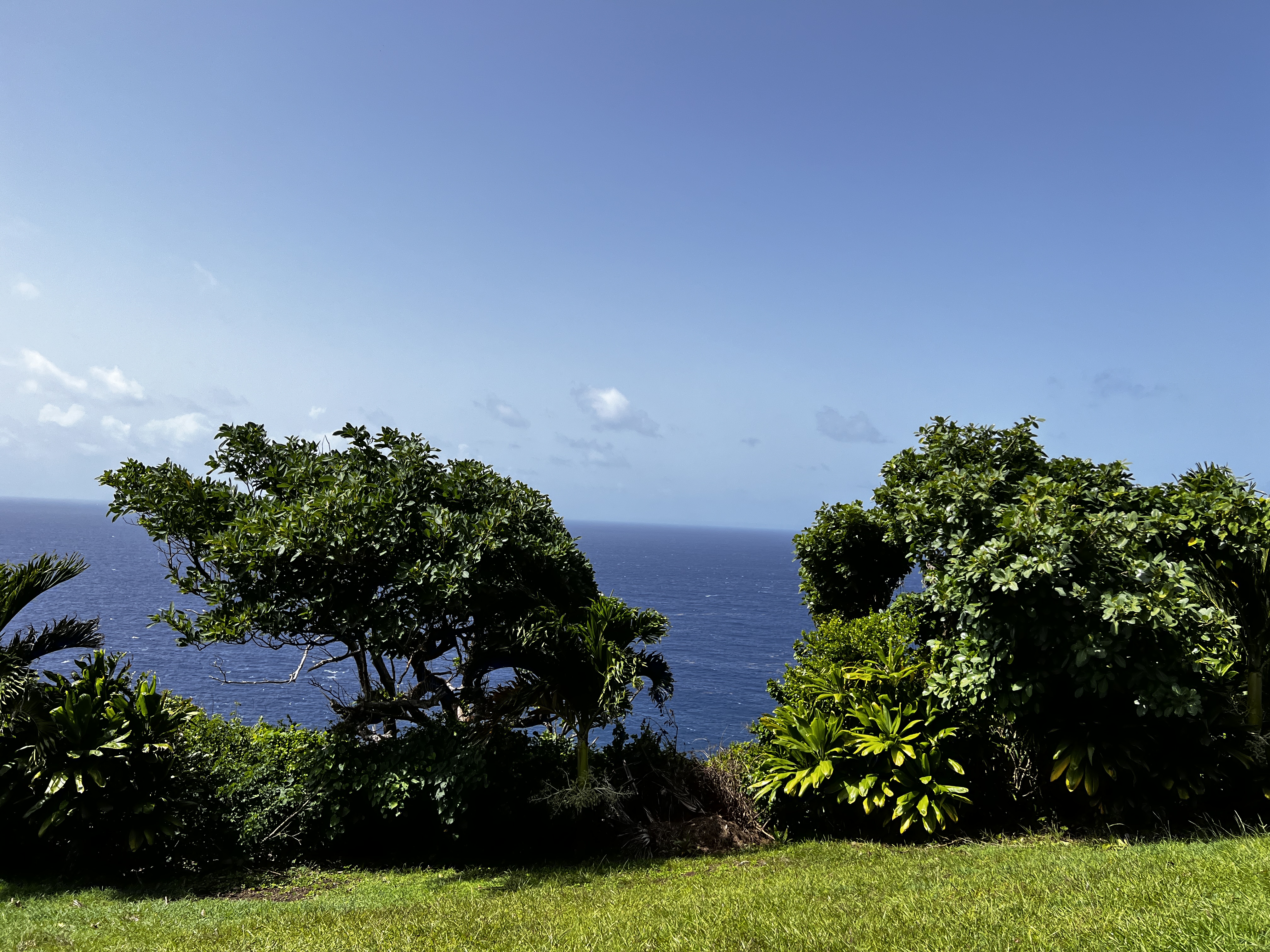
After that we drove to the very southern tip of Dominica, Scotts Head. A week ago you could drive the narrow road that separated the Atlantic side from the Caribbean Sea. However a storm surge from Beryl took the road out.
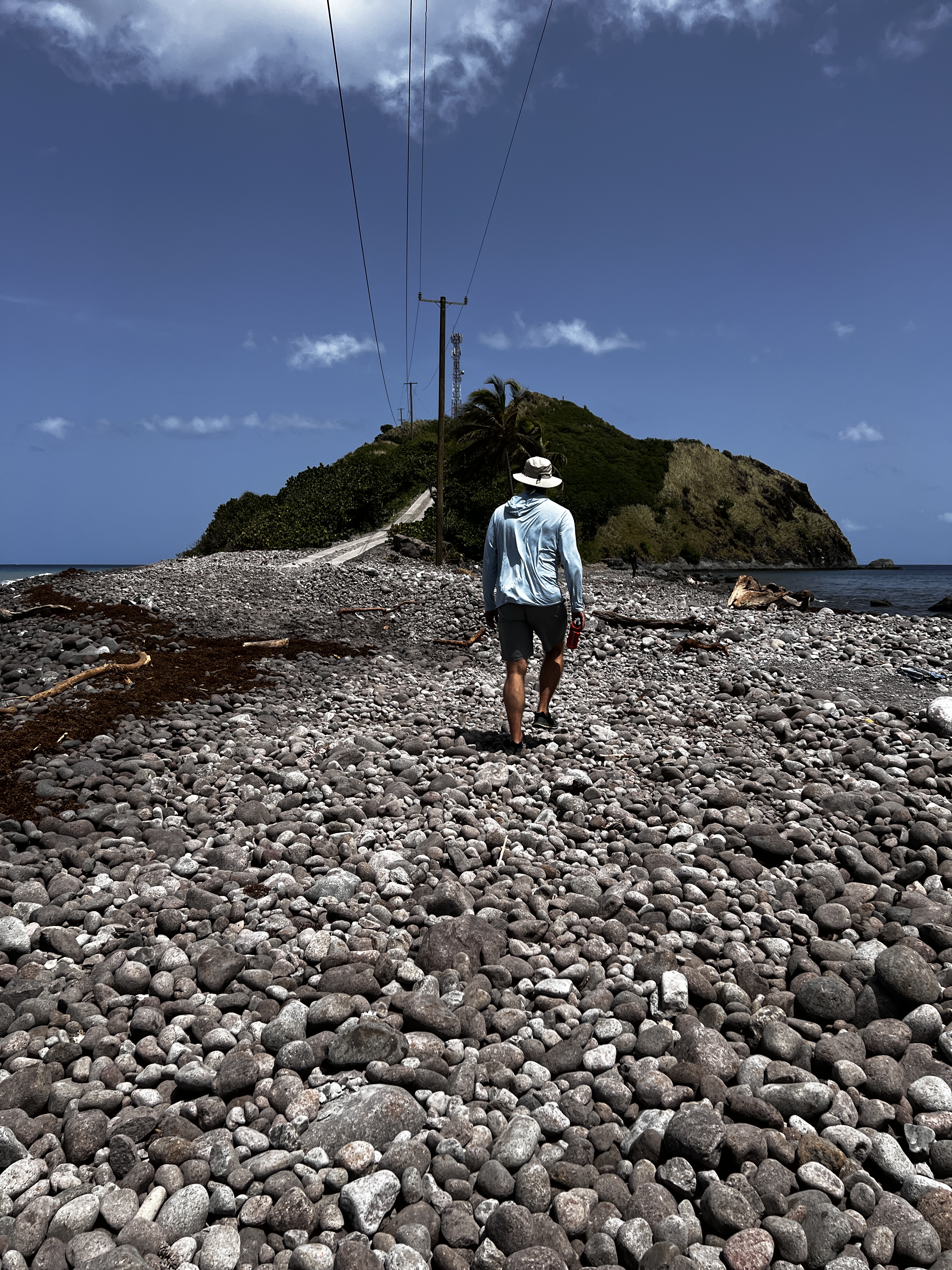
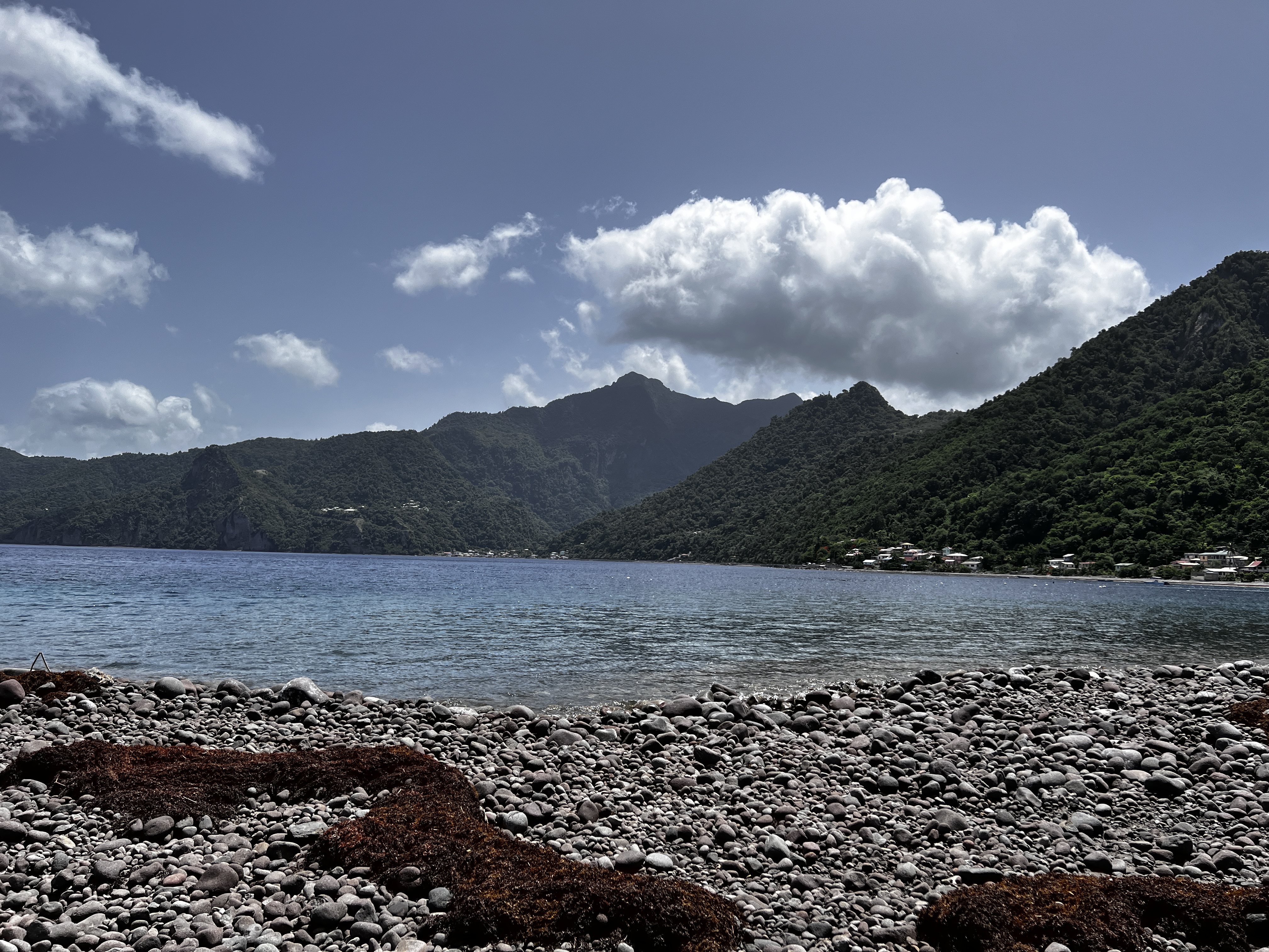
From this you can see where the road used to be.
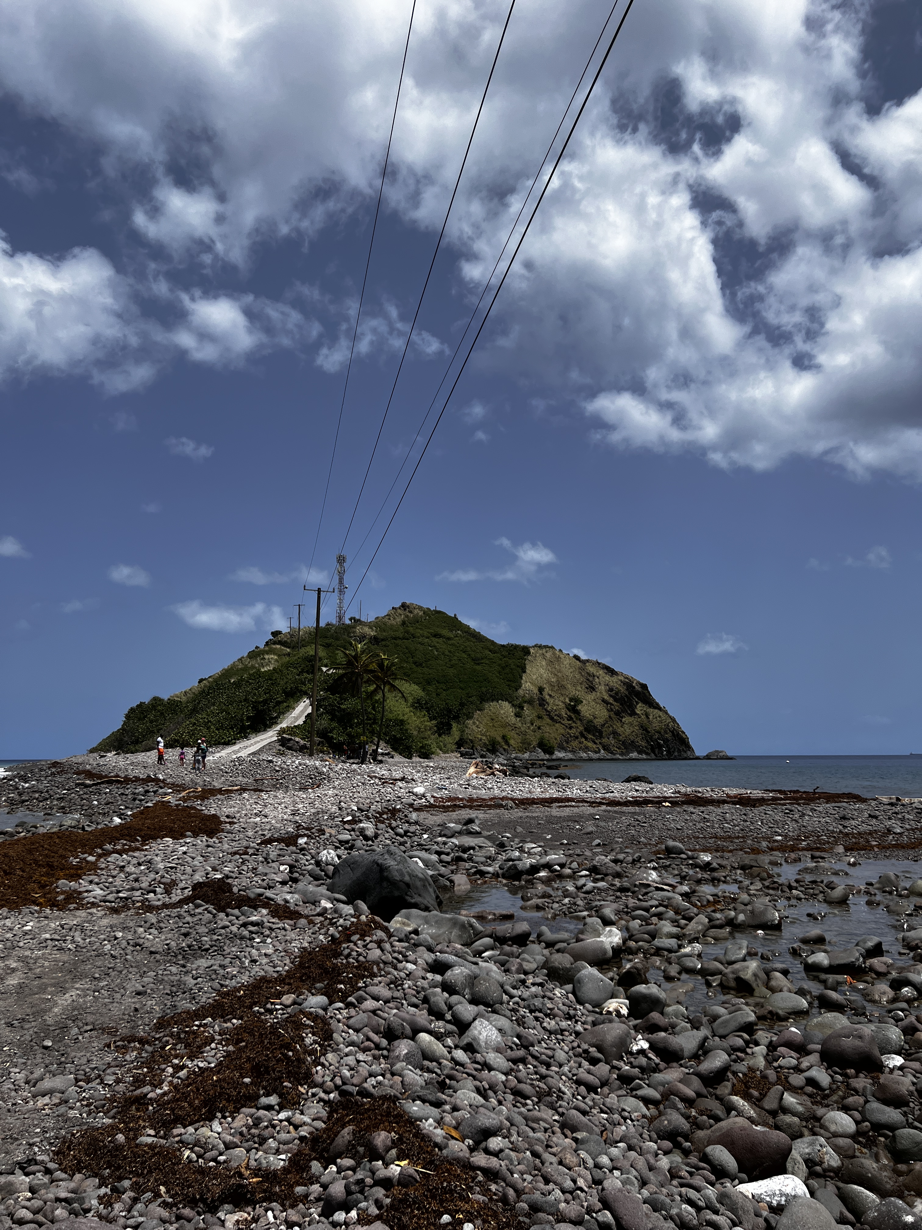
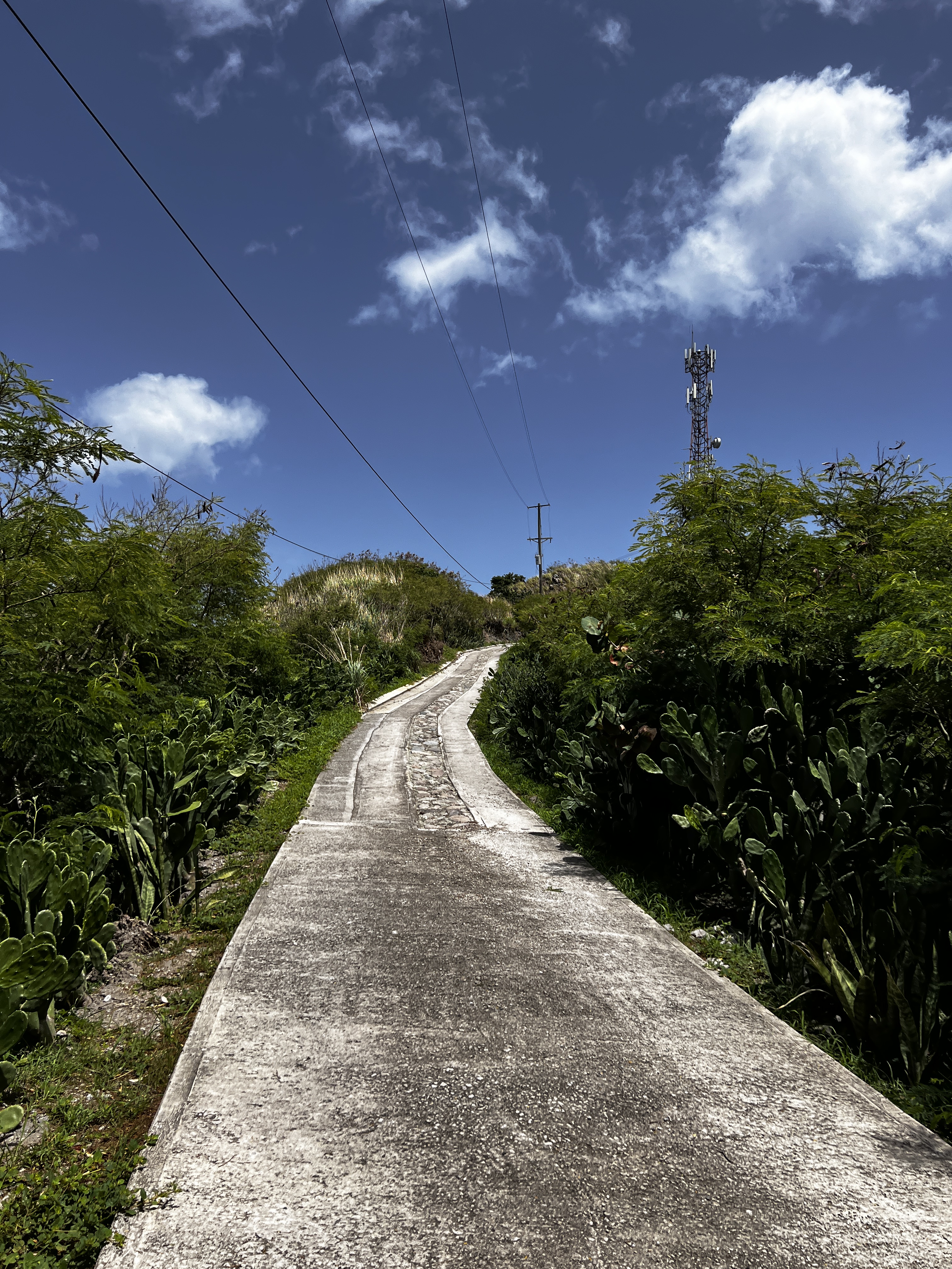
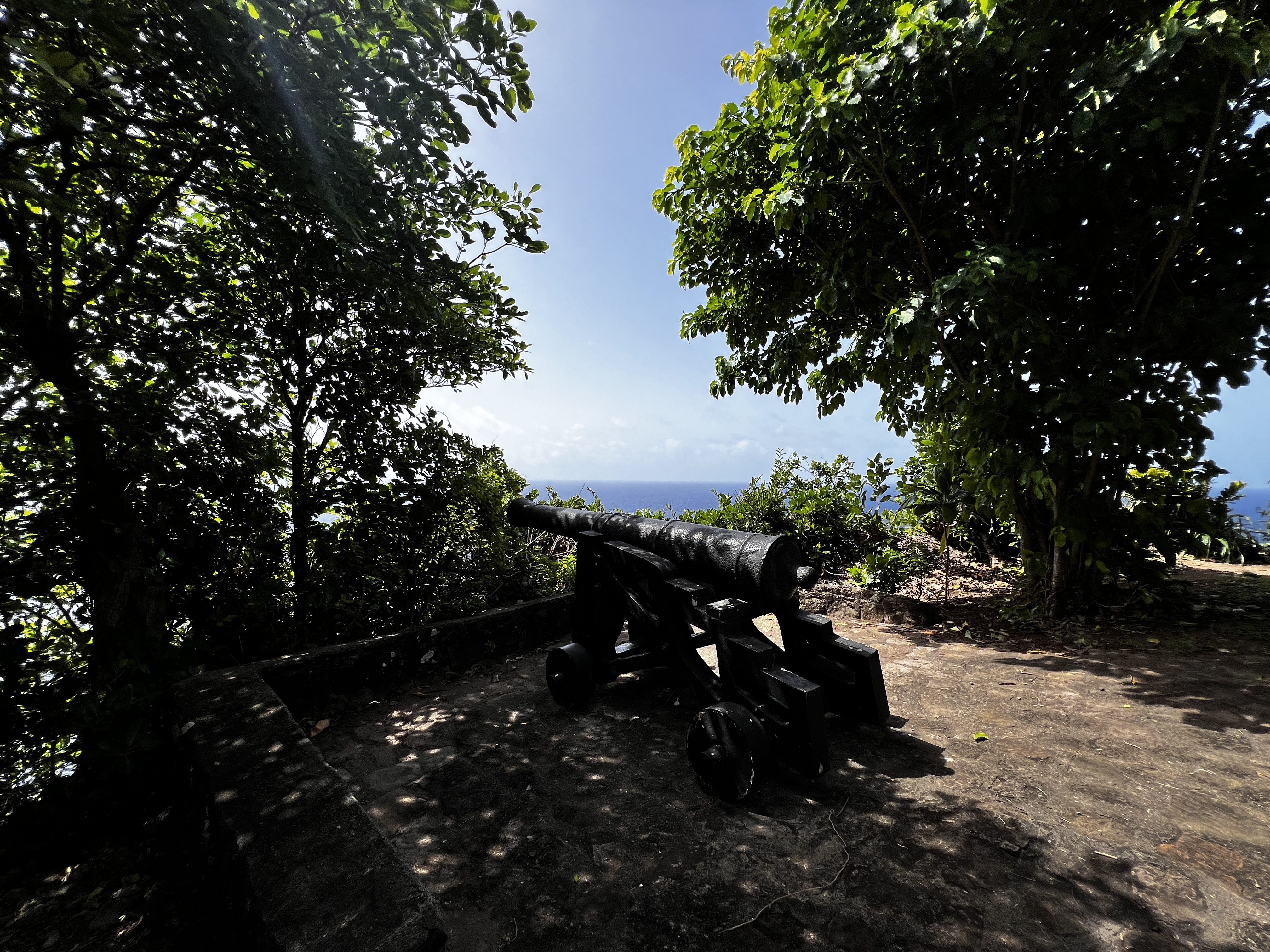
We walked over the rocks, to the paved part of the road to the top peak with a cannon and then we followed a trail to the highest point.

We hoped to go snorkeling on the Caribbean side but the sargassum had come in at the entry point and the best area to snorkel, so not today.
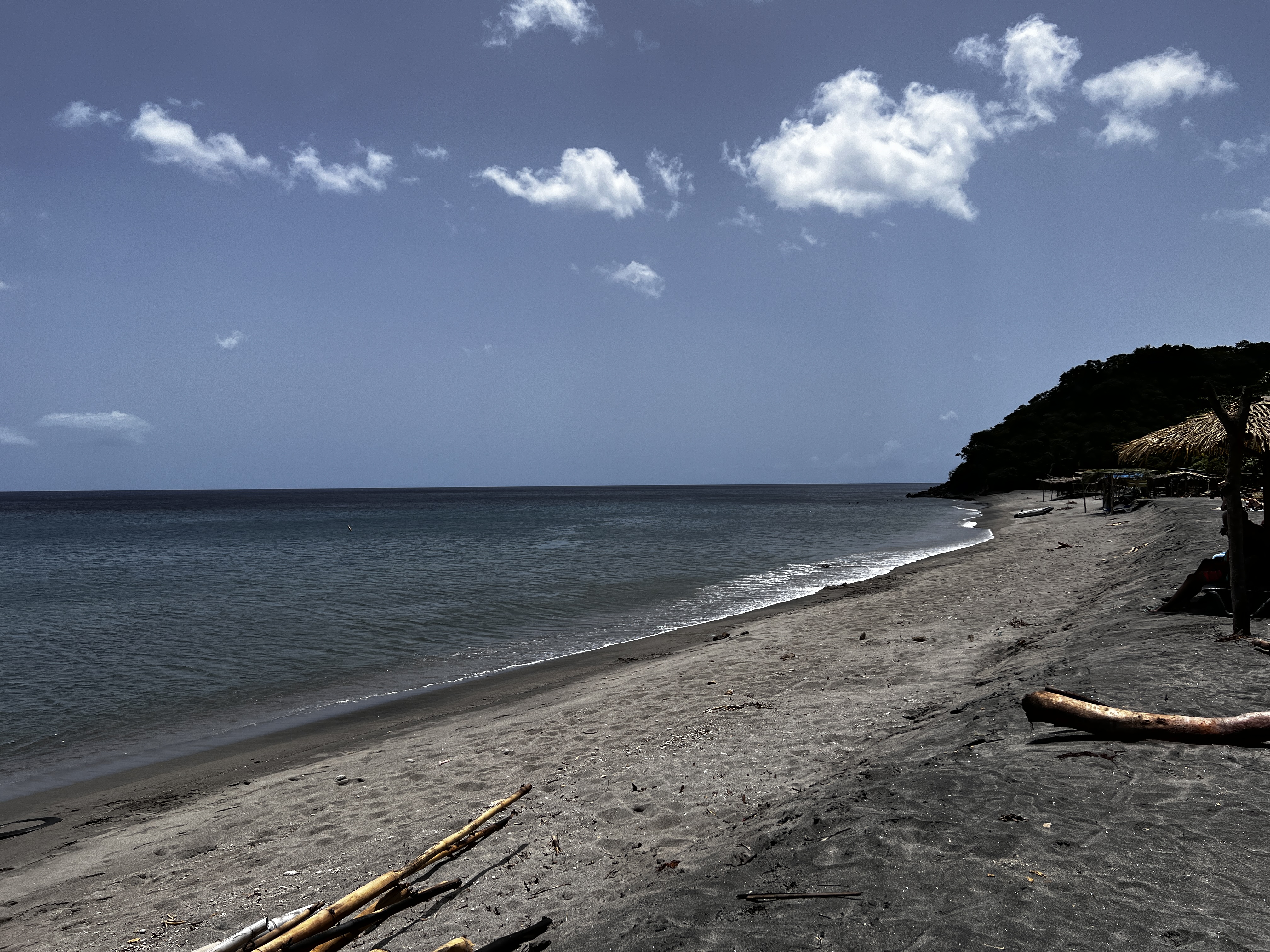
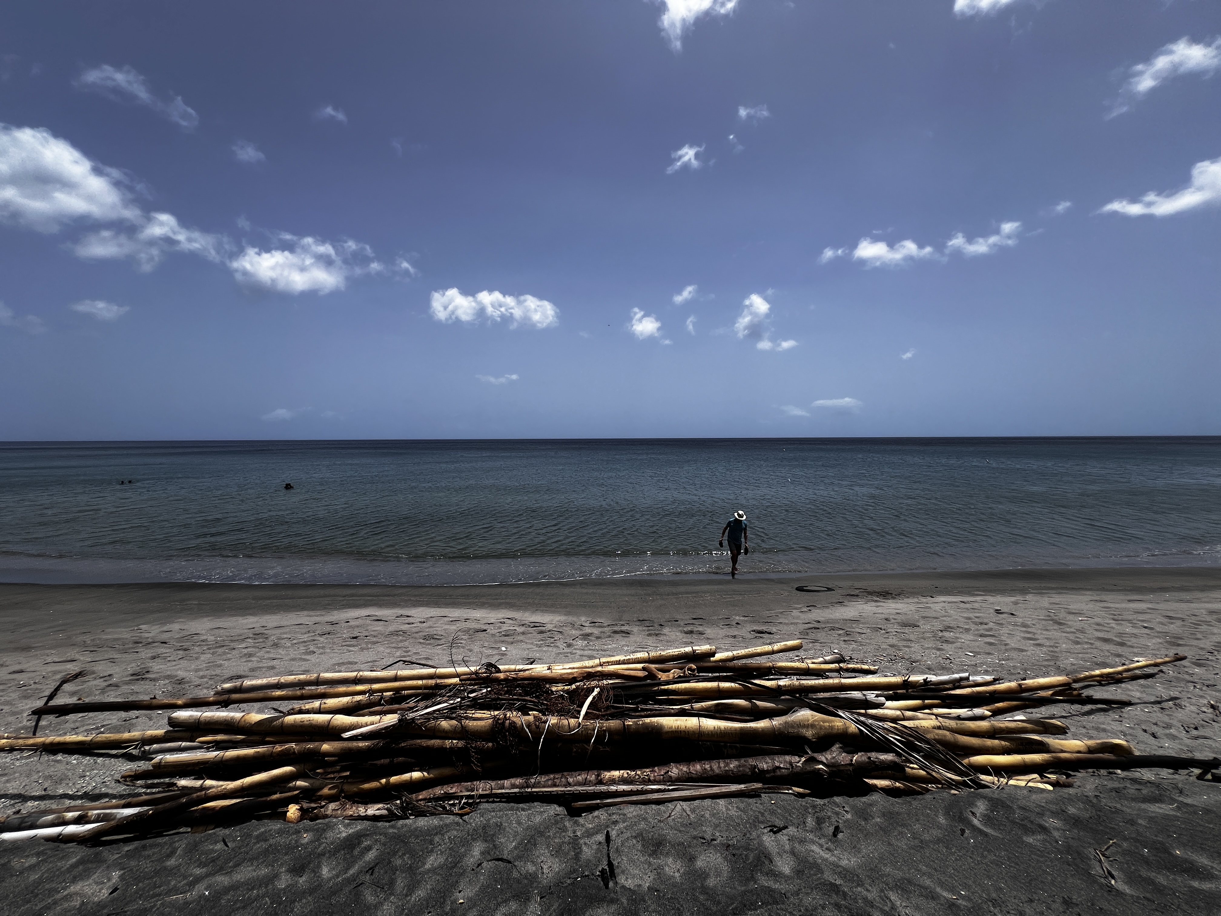
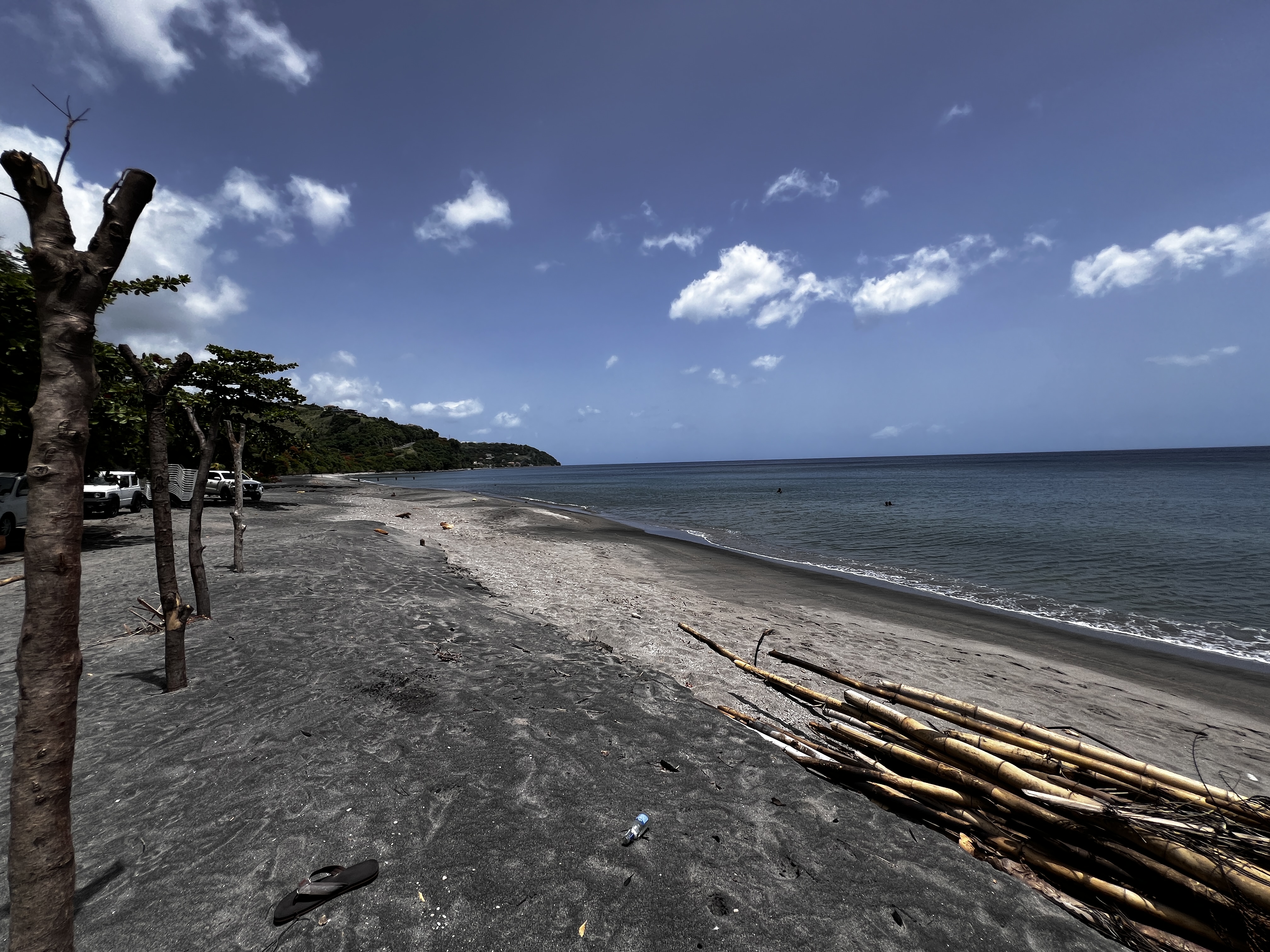
After that a stop at a beach for lunch and an ocean dip was in order. We stopped at Mero Beach.
After that I thought we were headed back to the cottage. Nope! Mike thought it would be fun to go the North tip of the island, Capuchin Point. He can now he drove the full North to South road of the island.
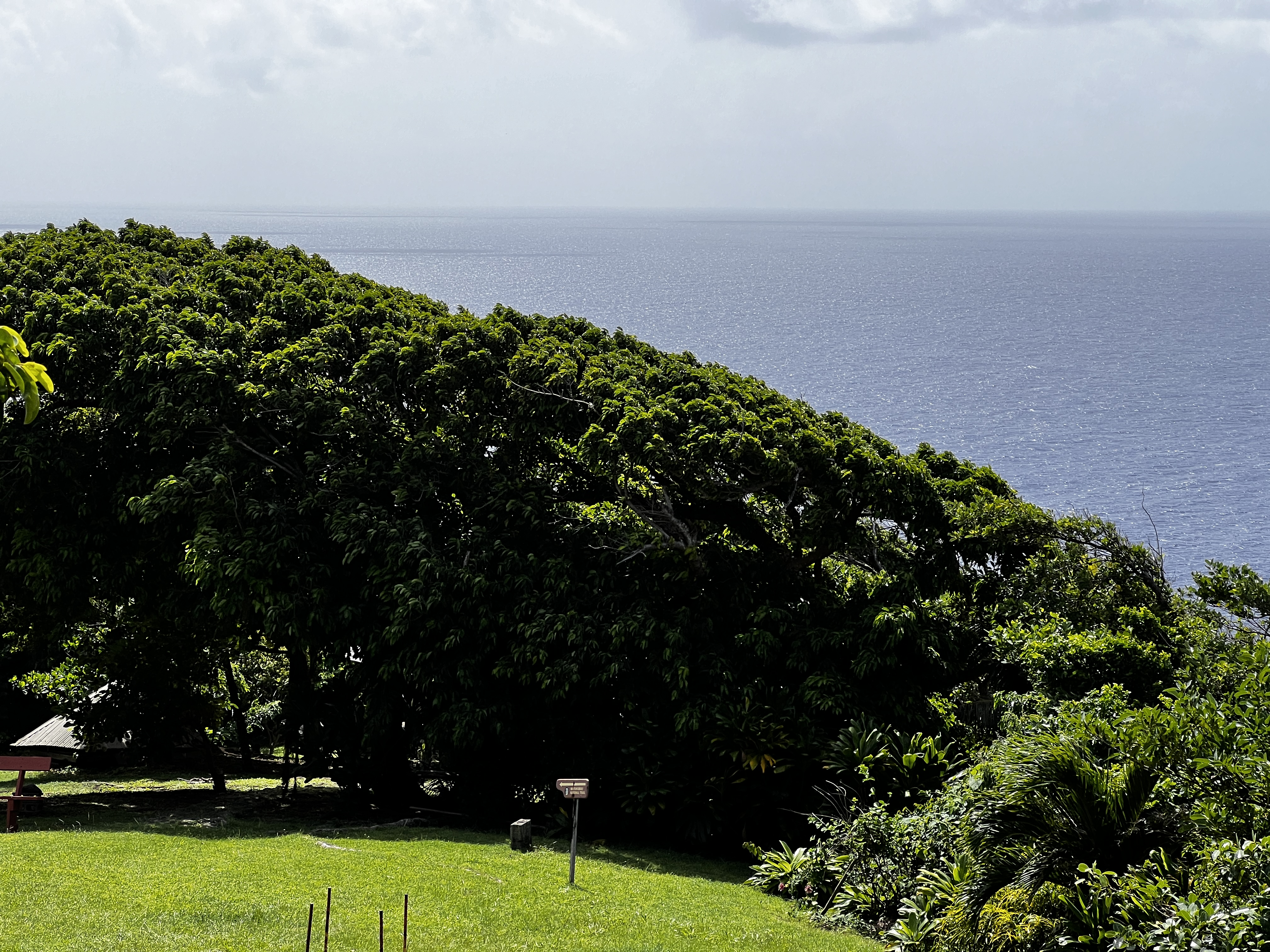
Once we reached the North end of the road in Capuchin, there was a former cultural site, with two lovely buildings and overgrown lookouts. And yes there was a cannon. We didn’t know a cannon was placed here.
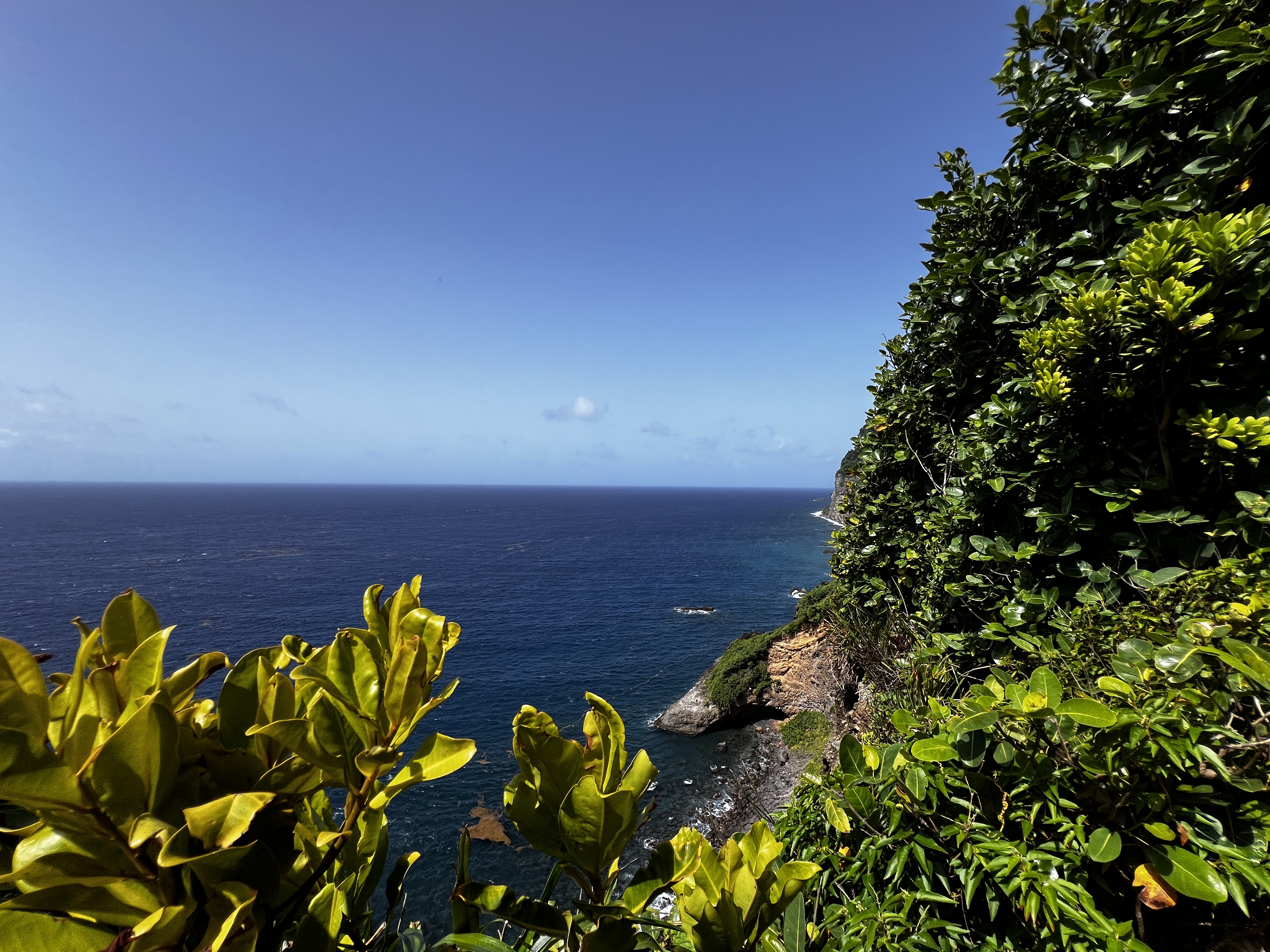
We can now claim we have driven the island tip to tip or rather cannon to cannon.

Leave a comment