We enjoy walking the Presidential Rail Trail out to Cherry Pond for the majestic views it offers. On Sunday morning we decided to use the Slide Brook Trail to meet up with the rail trail.
We parked at the Owl’s Head Parking lot off of Route 115. This is where the Cherry Mountain landslide occurred in the 1800s. The trailhead is located across the street. From the parking lot you walk from one utility pole diagonally across the street to the next utility pole.
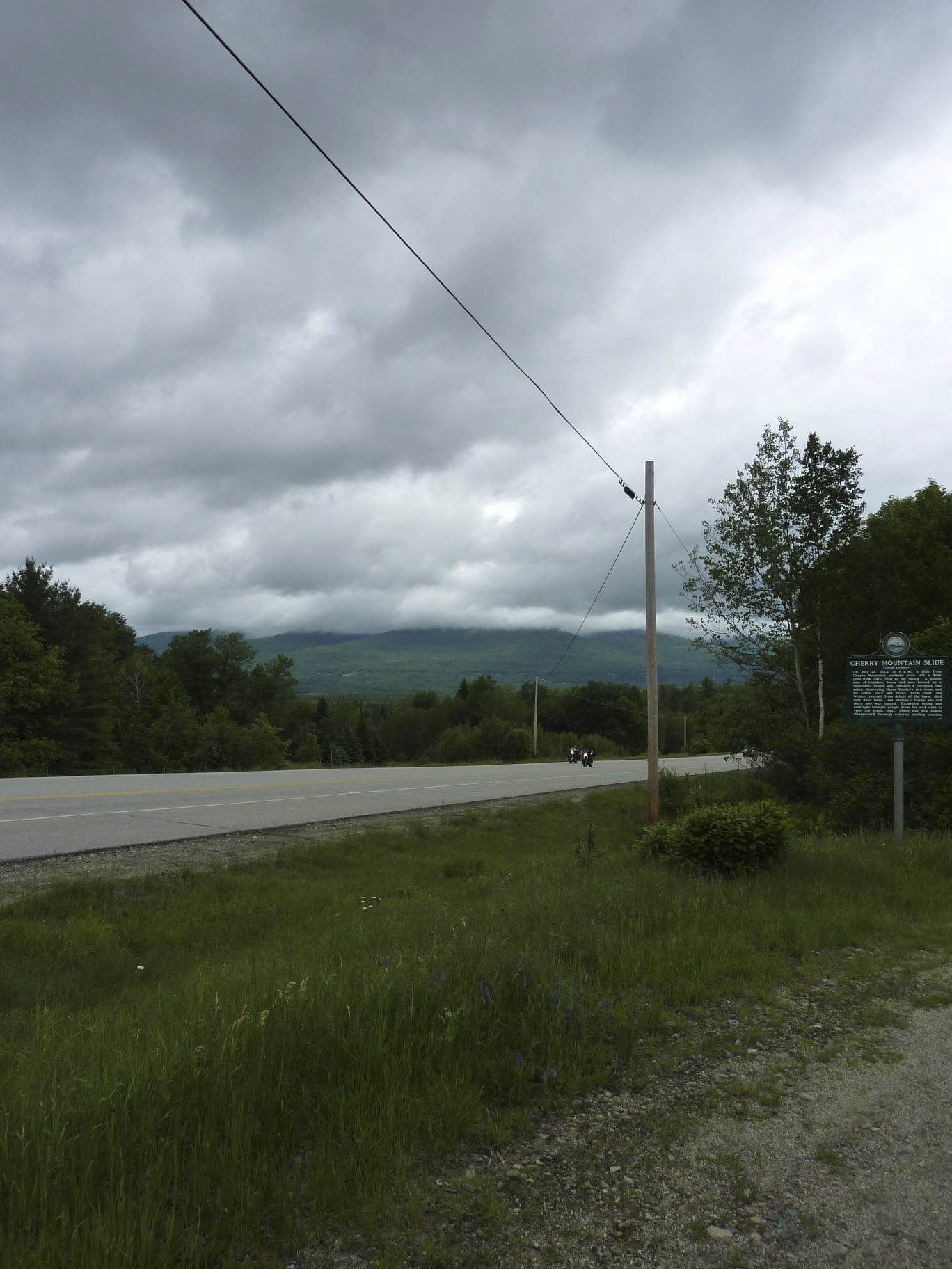
From here you see the sign for the Cohos Trail.

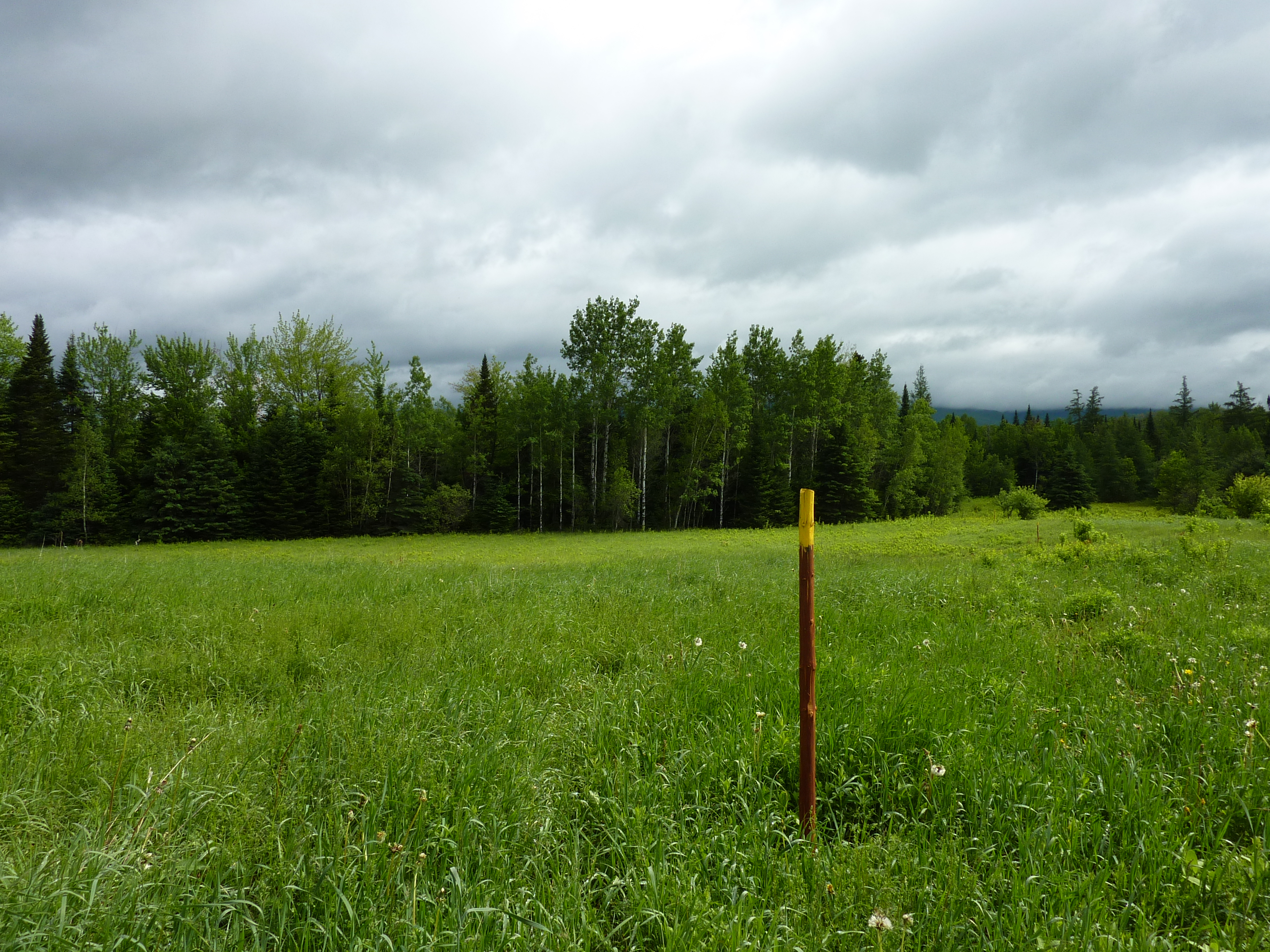
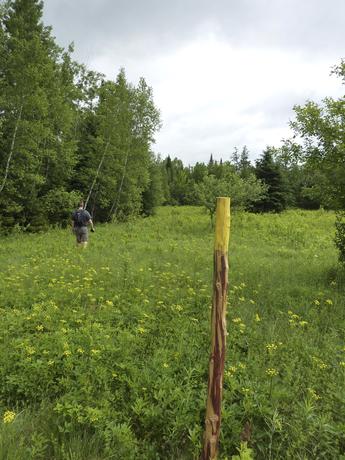
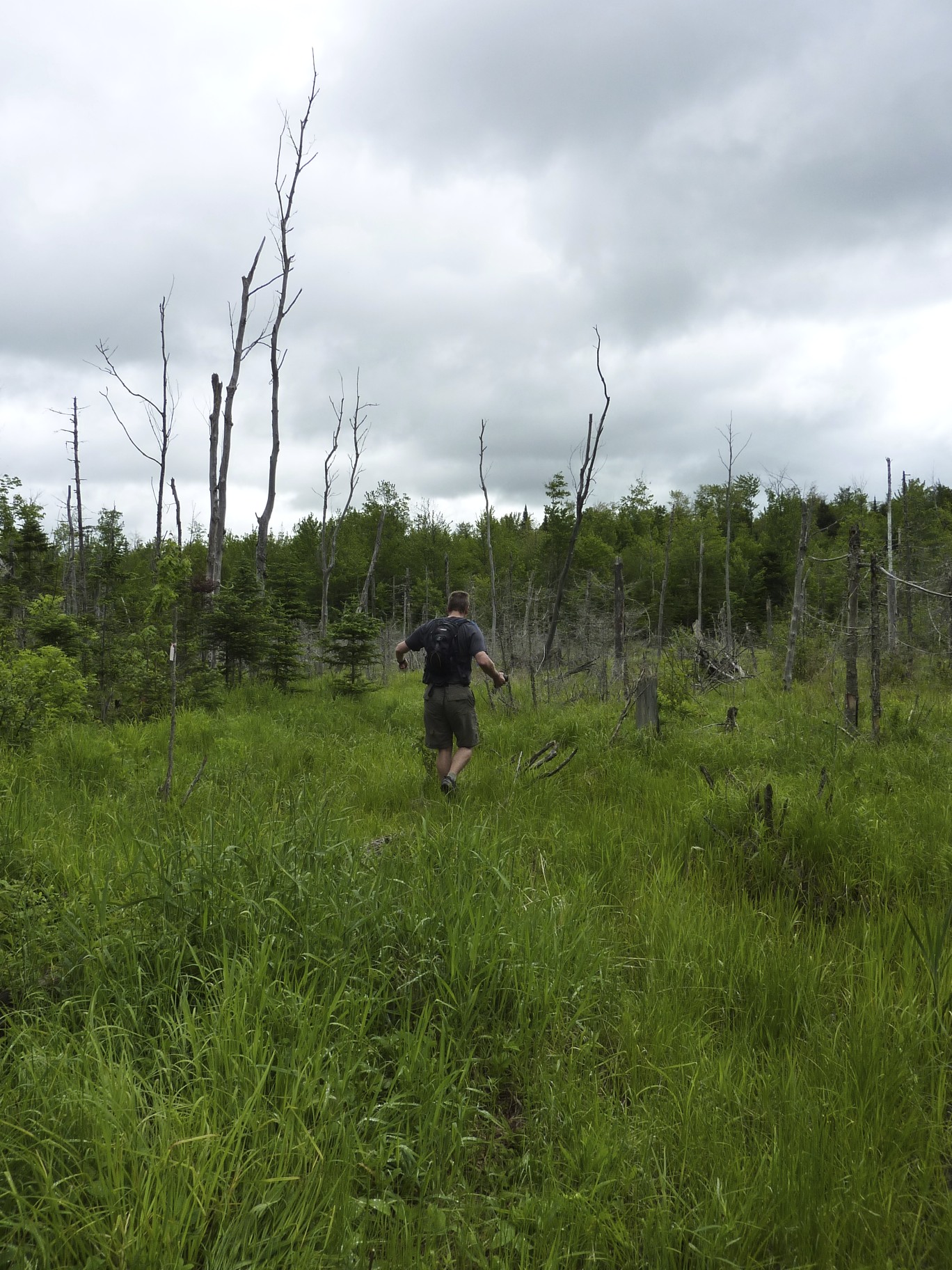
All we did was follow the marking sticks, making our way through a very grassy meadow. I was thankful I wore long pants. Mike wore shorts and that is not advised at all. Why you ask? Because the meadow is full of ticks. Our official tick count after the hike was 11, one for me and 10 for Mike. EWWWWW
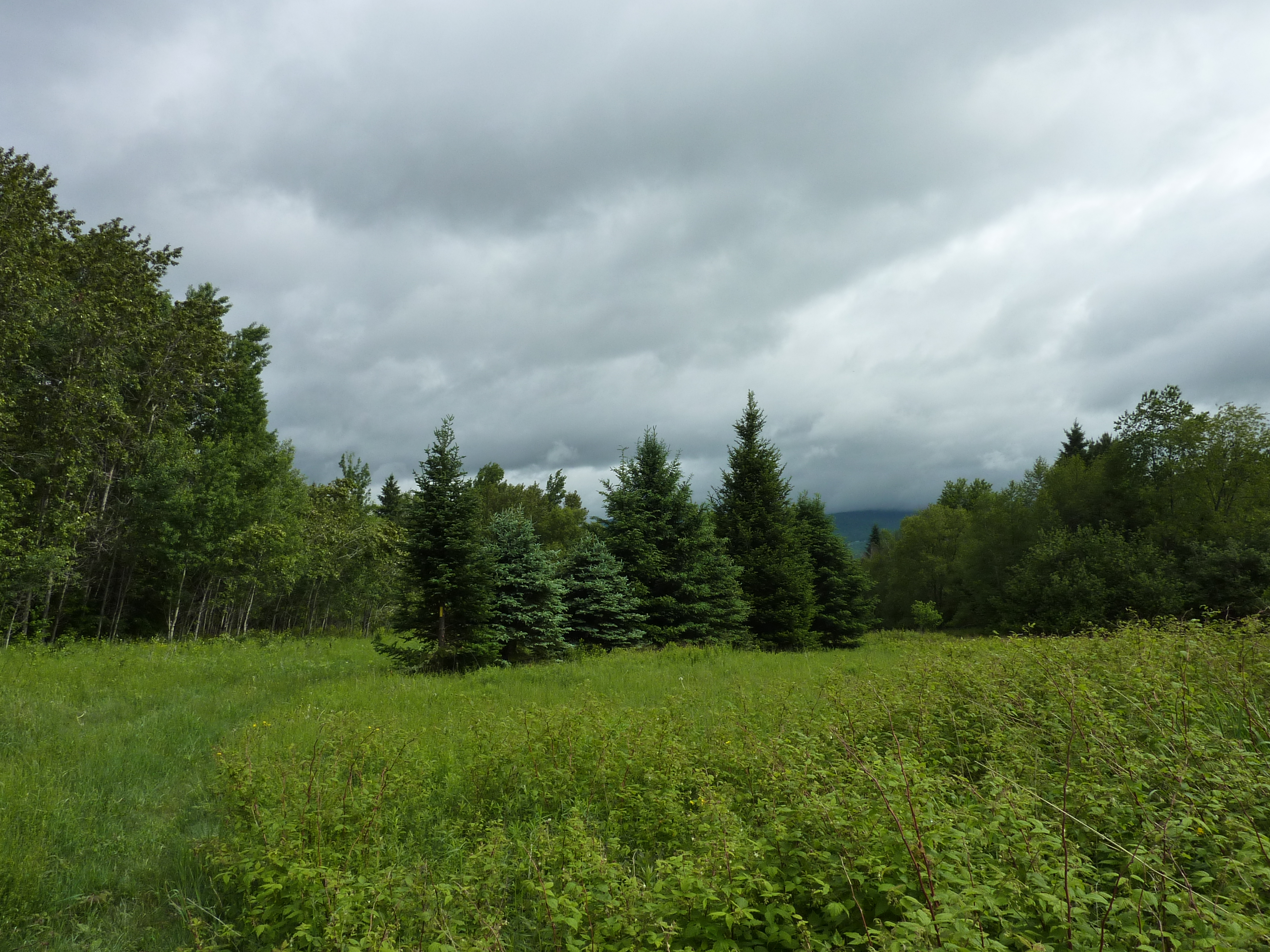
After the open meadow you enter a wooded area for a short distance.

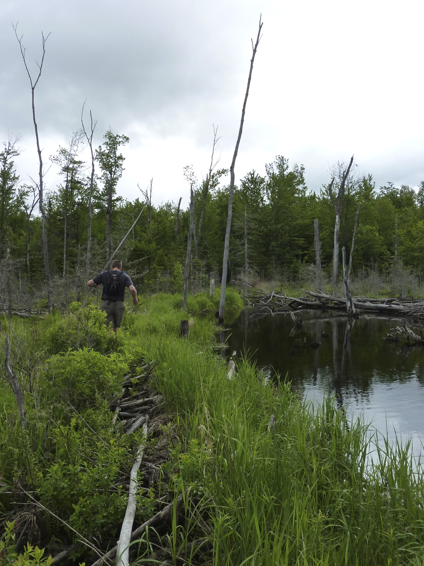
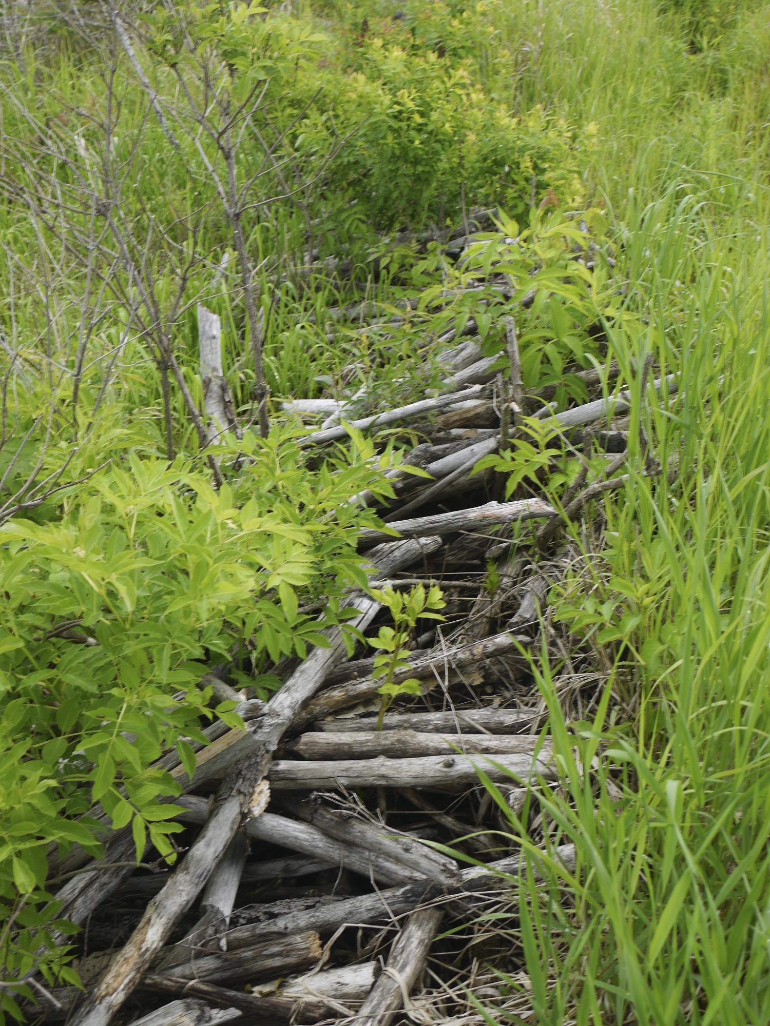
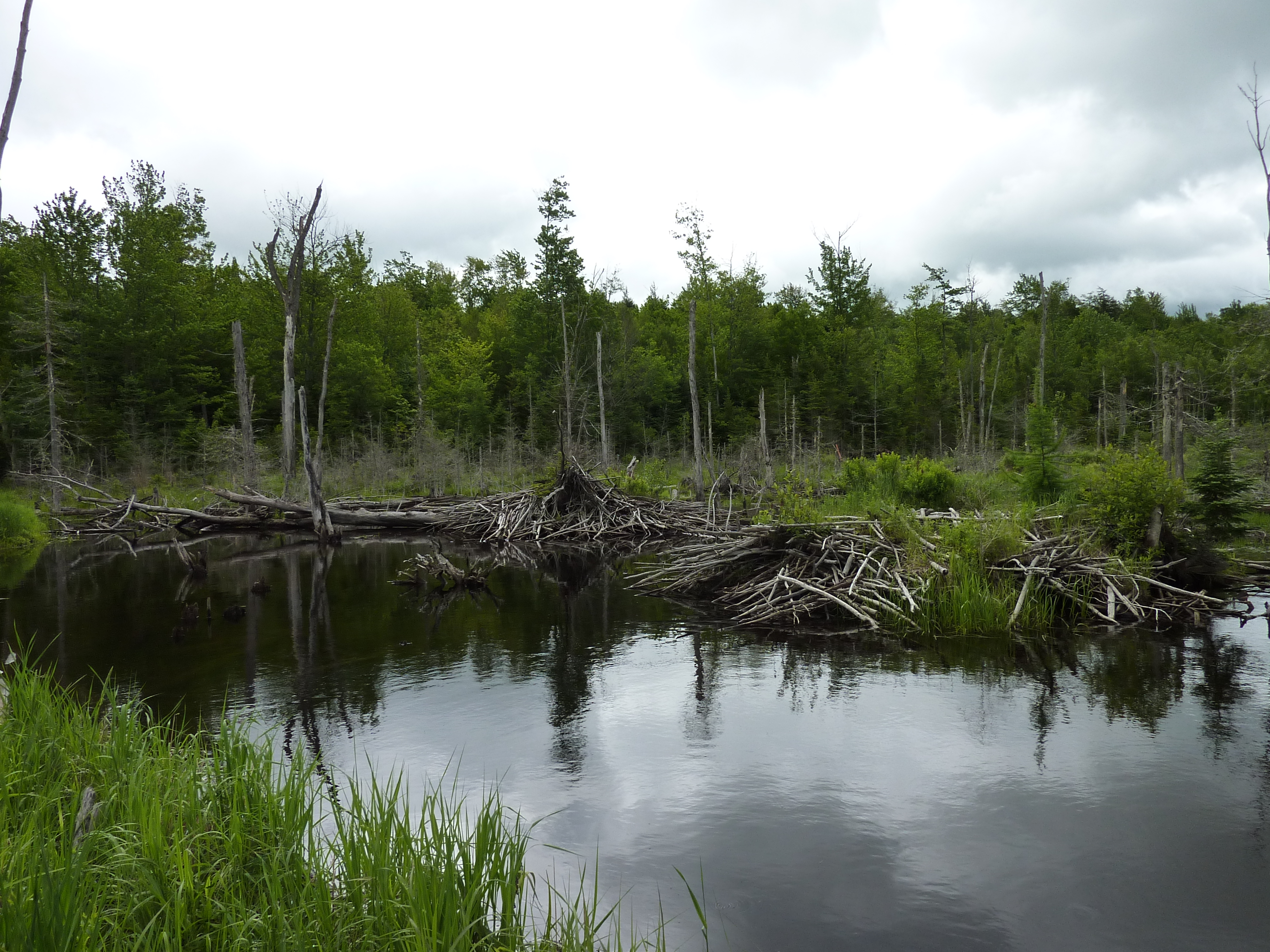
We didn’t take many pictures because the mosquitos started to bond with us, while we walked in the wooded section. We then emerged to beaver land and wetlands. We walked about 300 feet on the old beaver dam. Amazing destructive architects these little guys are. The hike across the damn was a balancing act, with very careful foot placement. On occasion we had to give a frog or snake the right away.
After working very had not to fall into the water, the trail entered another forested area that was a bit muddy, but easy to pick our way over rocks and stumps.

From here we were a short distance from the rail trail. We could see the trestle bridge we had to get to and then we would be on the rail trail.

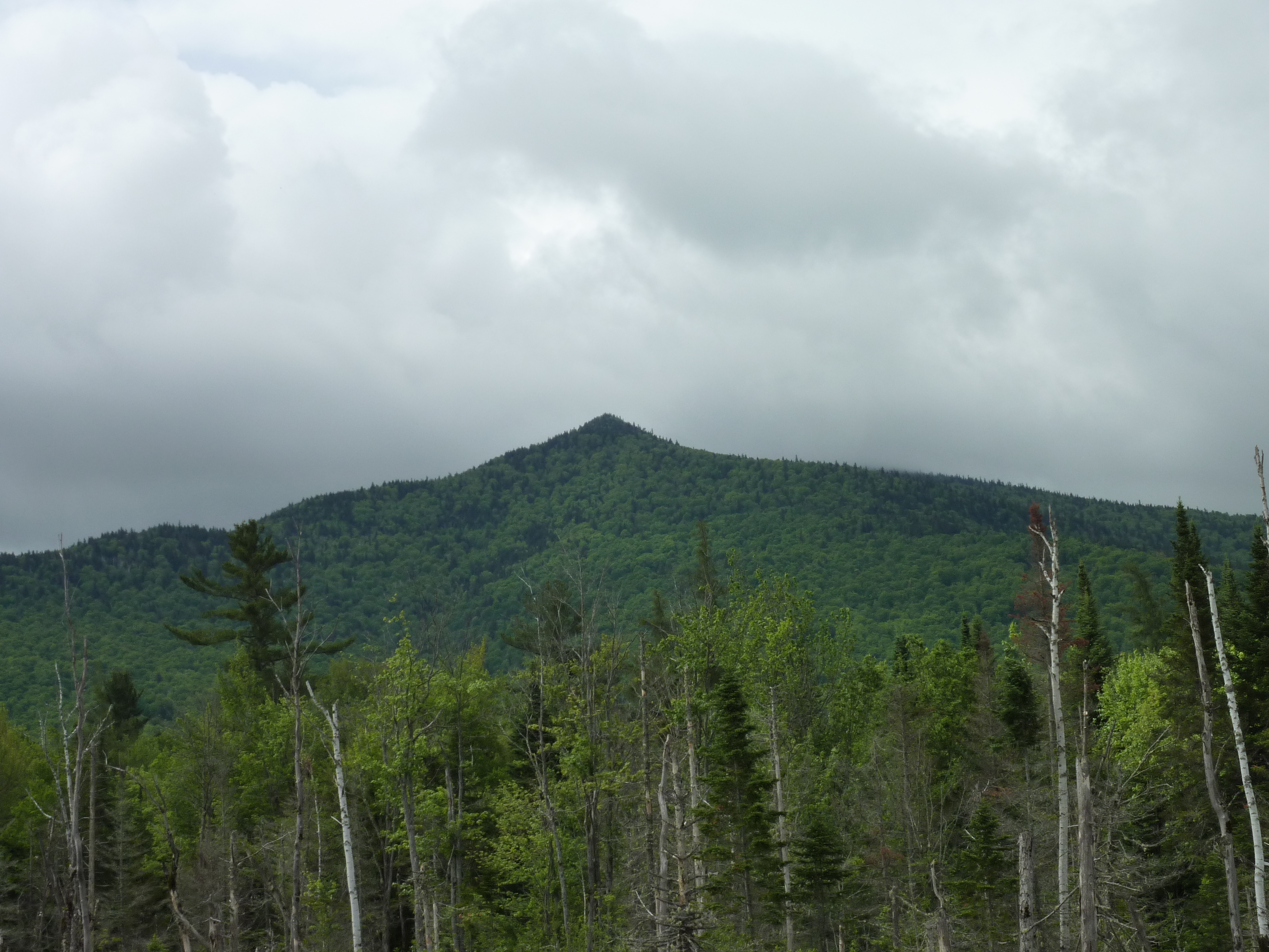
Once we hit the rail trail, our pace quickened due to millions of mosquitos that decided to join the hike with us. We went about 1/8 of a mile and called the hike. Those pesky beasts were just to overpowering and we couldn’t outrun them or out deet them. We turned around and headed out the way we came in. We didn’t stop to take pictures, except for a brief moment from the beaver dam, Owl’s head looked regal.
This is definitely a hike we will re-do, maybe when those flying blood suckers are a bit more passive.
The Details: .6 miles on the Slide Brook Trail, it does meet up with the Presidential Rail Trail. We were out on the trail for about an hour.

Leave a comment