Who knew that the White Mountains once had an active gold mine? Ok, active as in 1800’s and closed in 1885, but none the less, there is gold in the hills. Though the real treasure of this trail was after the gold mine.

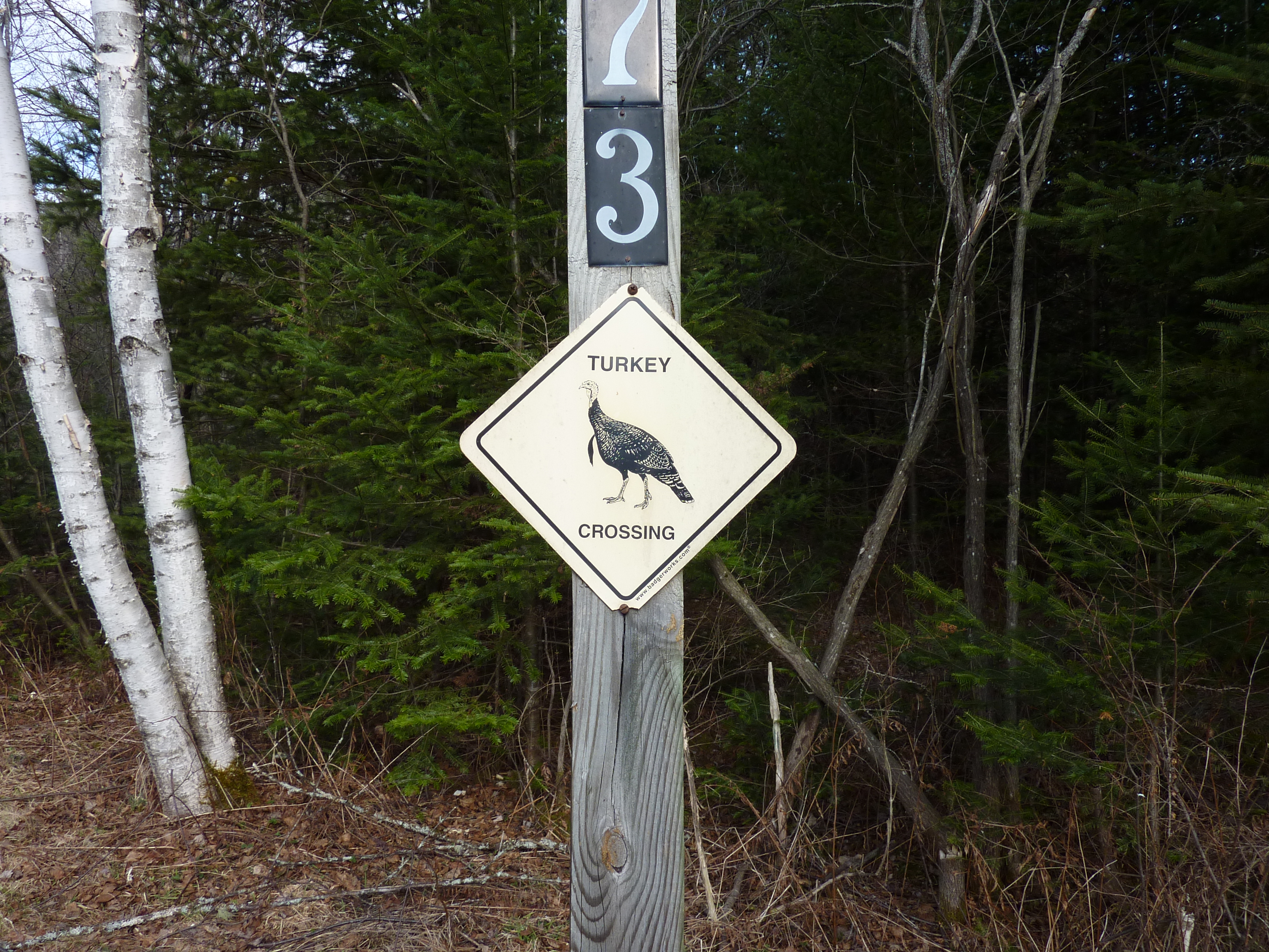
The morning started off parking at the gate at Lower Ox Team Road in Dalton. Park right before the turkey crossing sign. The hike begins after passing by the gate.
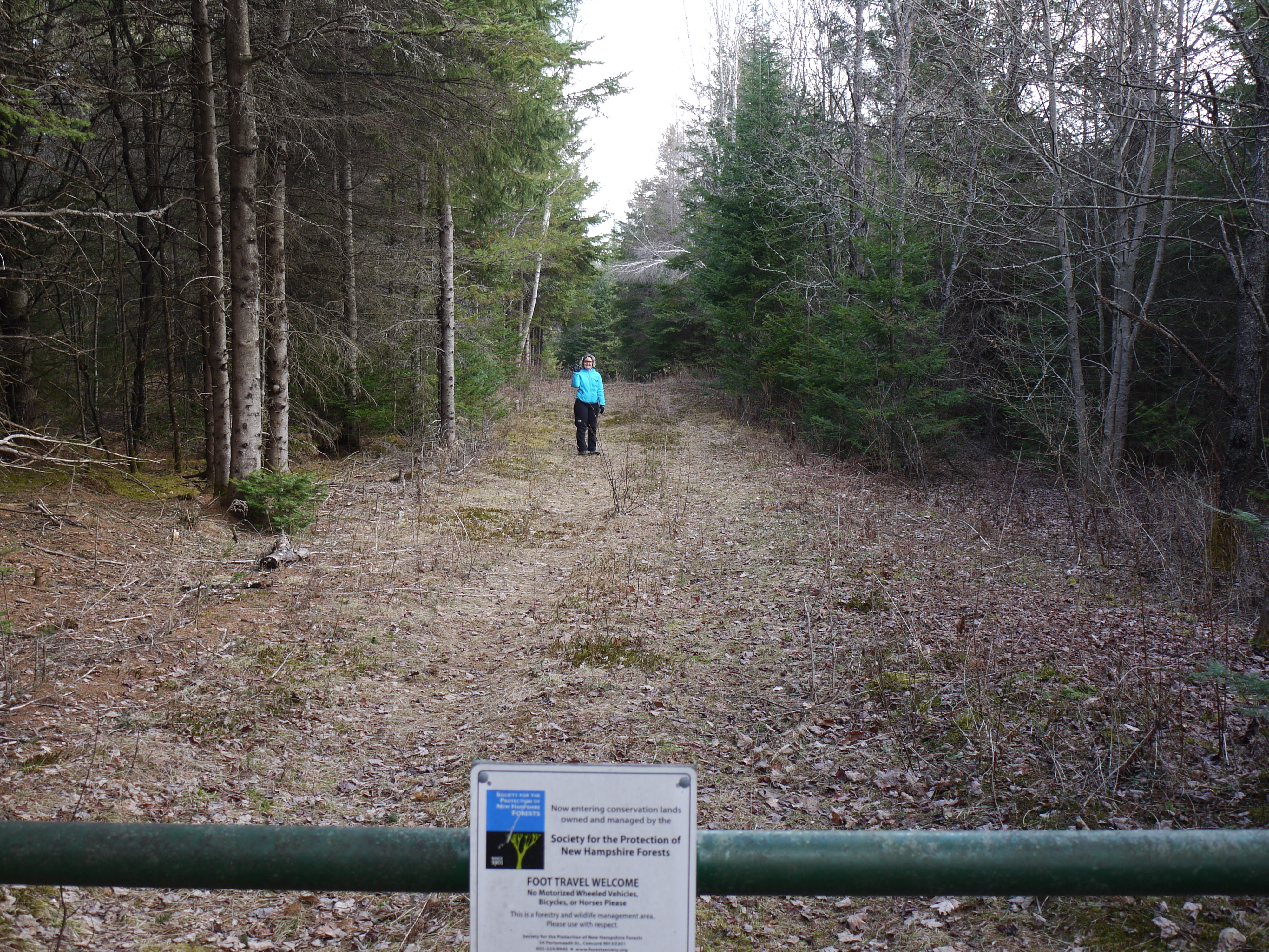
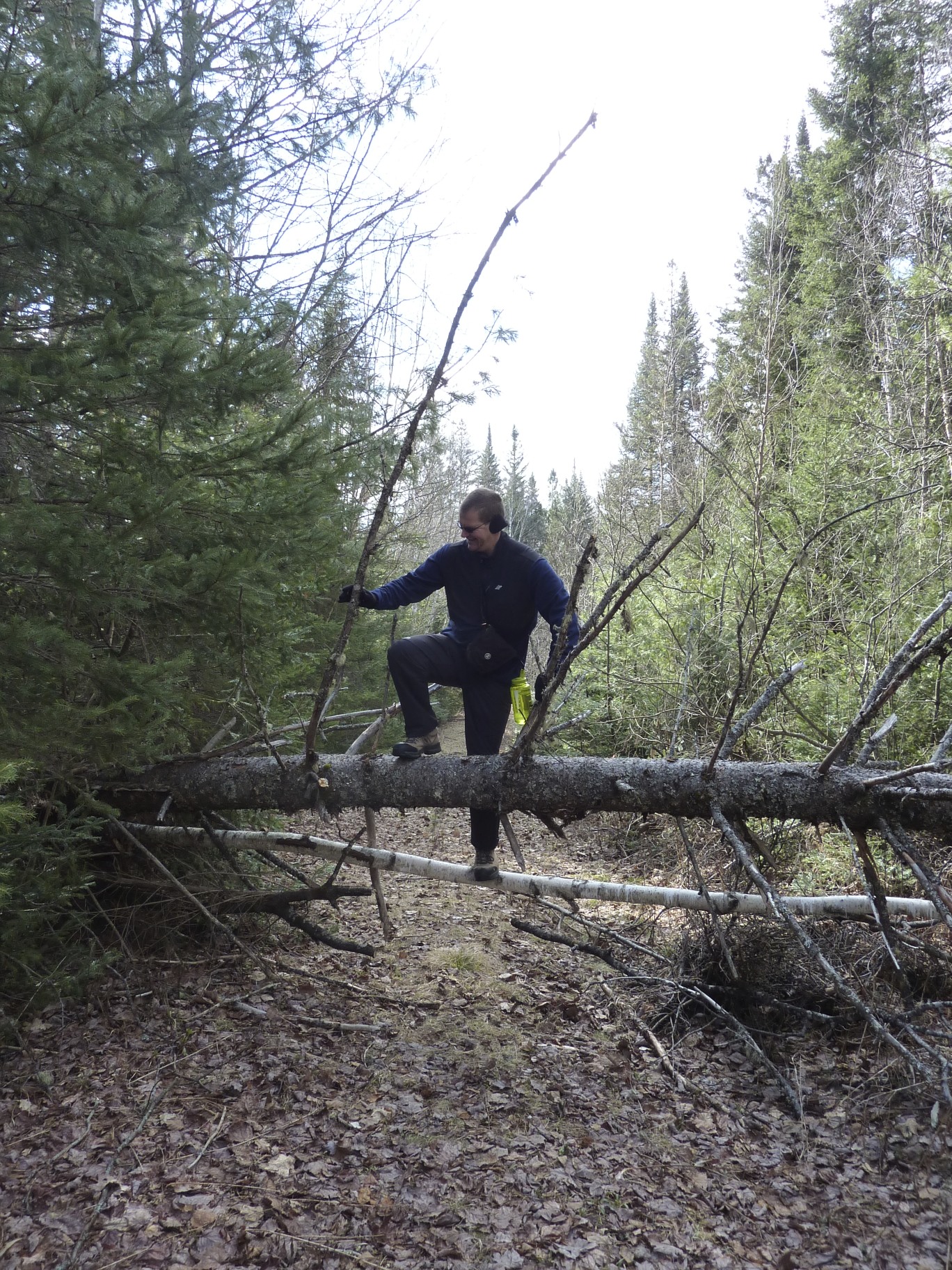
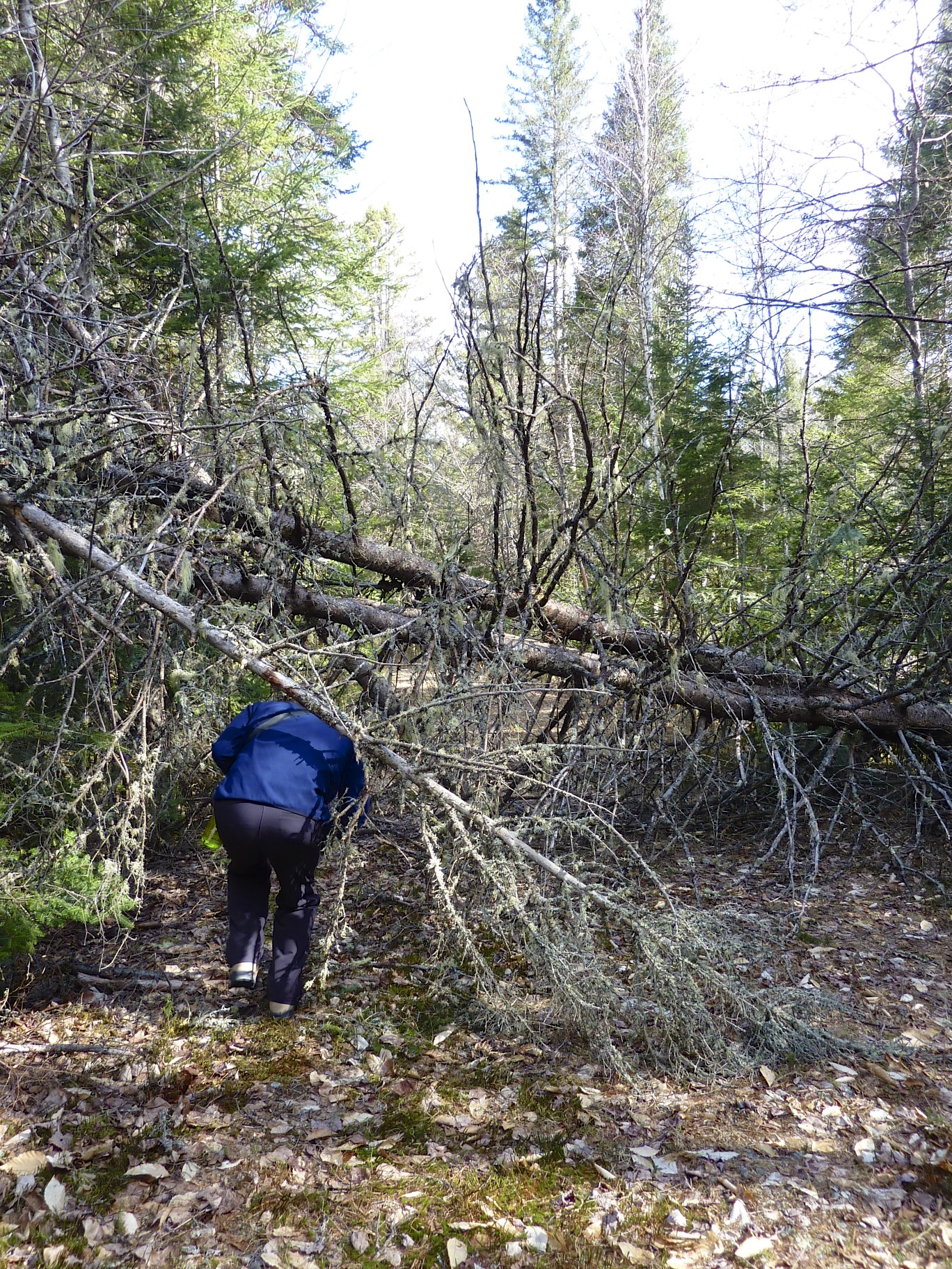
We had a nice woodsy walk on an old road to begin, only interrupted by a grouse, a deer and a few blowdowns.
A little way up the path, it split off to the right and entered the forest.

The path turned into a mossy lane, we followed to the mine.

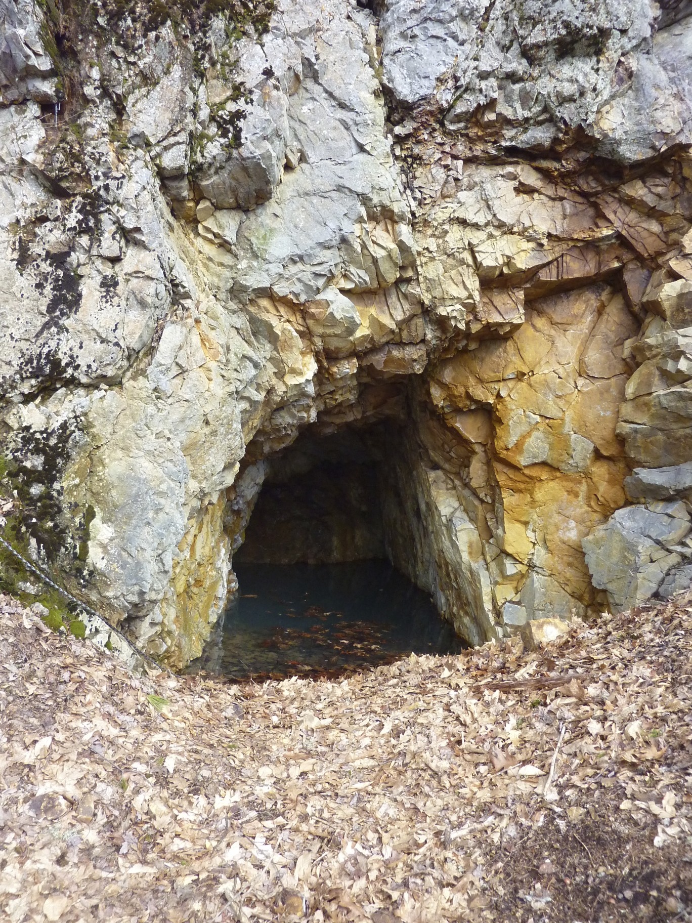
The mine was just ahead. This mine was filled with water, but there was a rope leading down into the murky water. Was someone spelunking, perhaps?
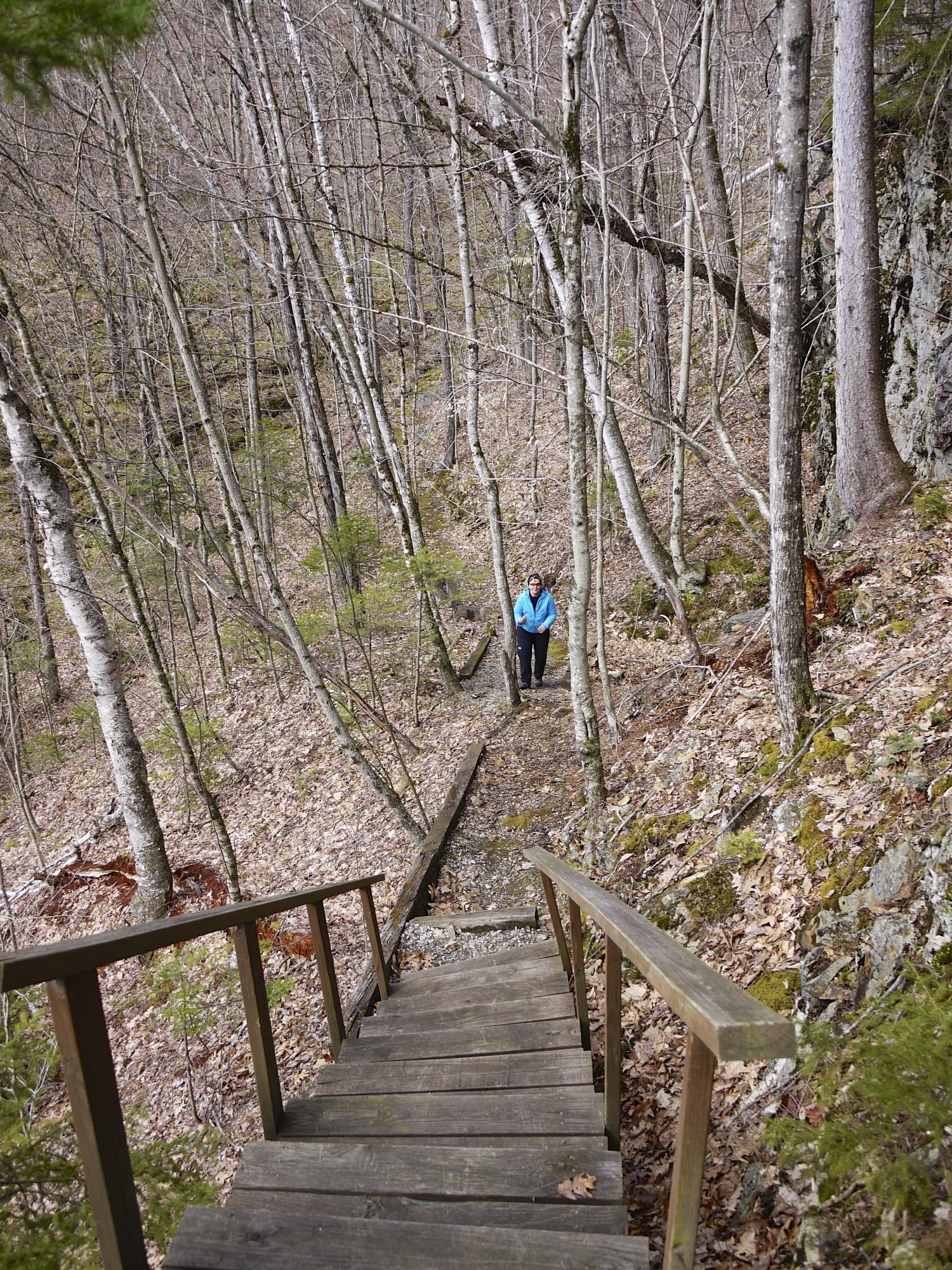
After spending a few minutes here, we ascended the stairs. This is where we found the real gem of the trail. Our map however ended at the mine and we followied an unknown trail.
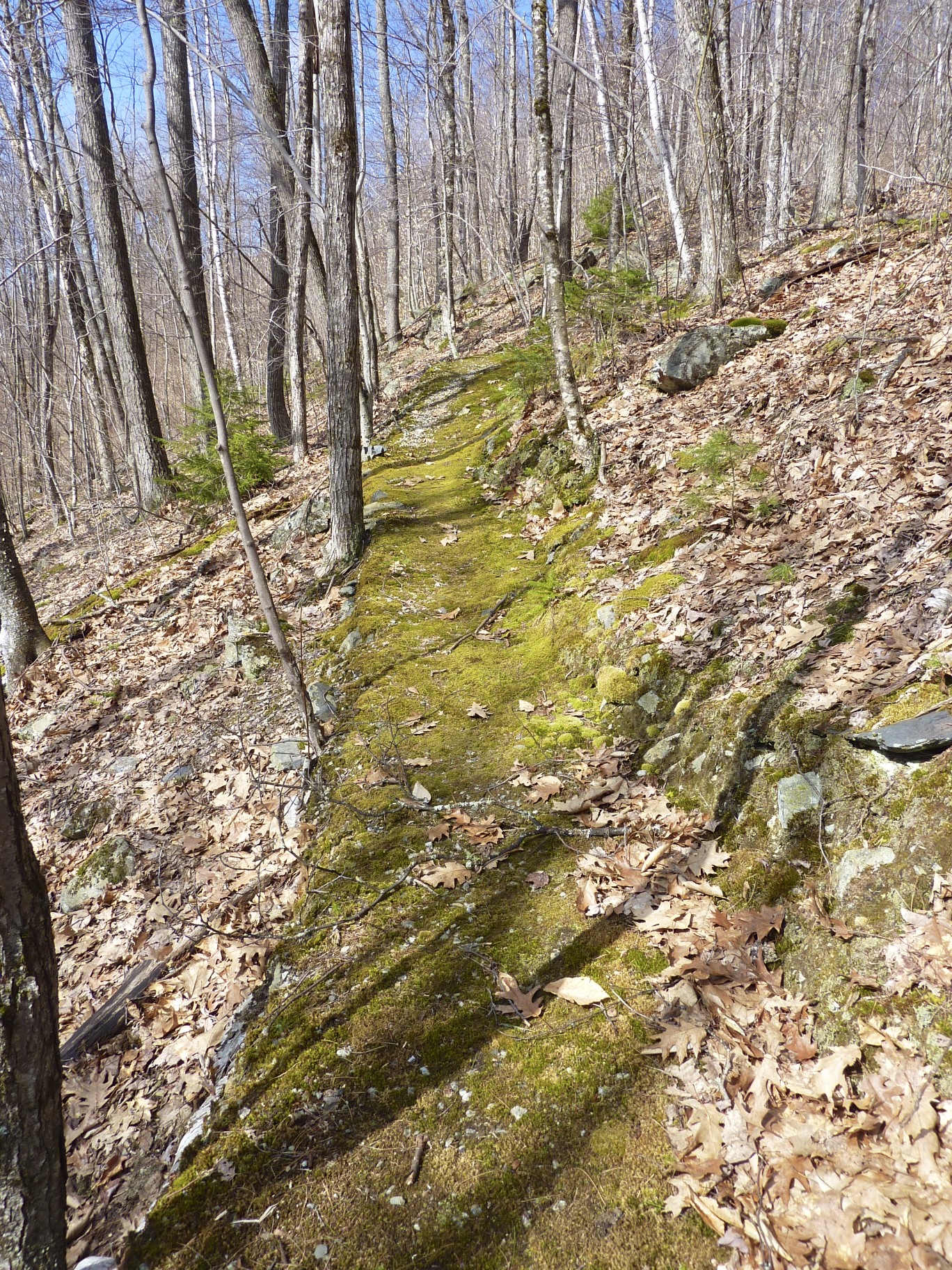
After the stairs, the trail became a beautiful, soft, gently crafted path with a few switchbacks. We both felt this trail was placed with a lot of thoughtfulness.

As we headed up, we were surprised to discover a table with benches.

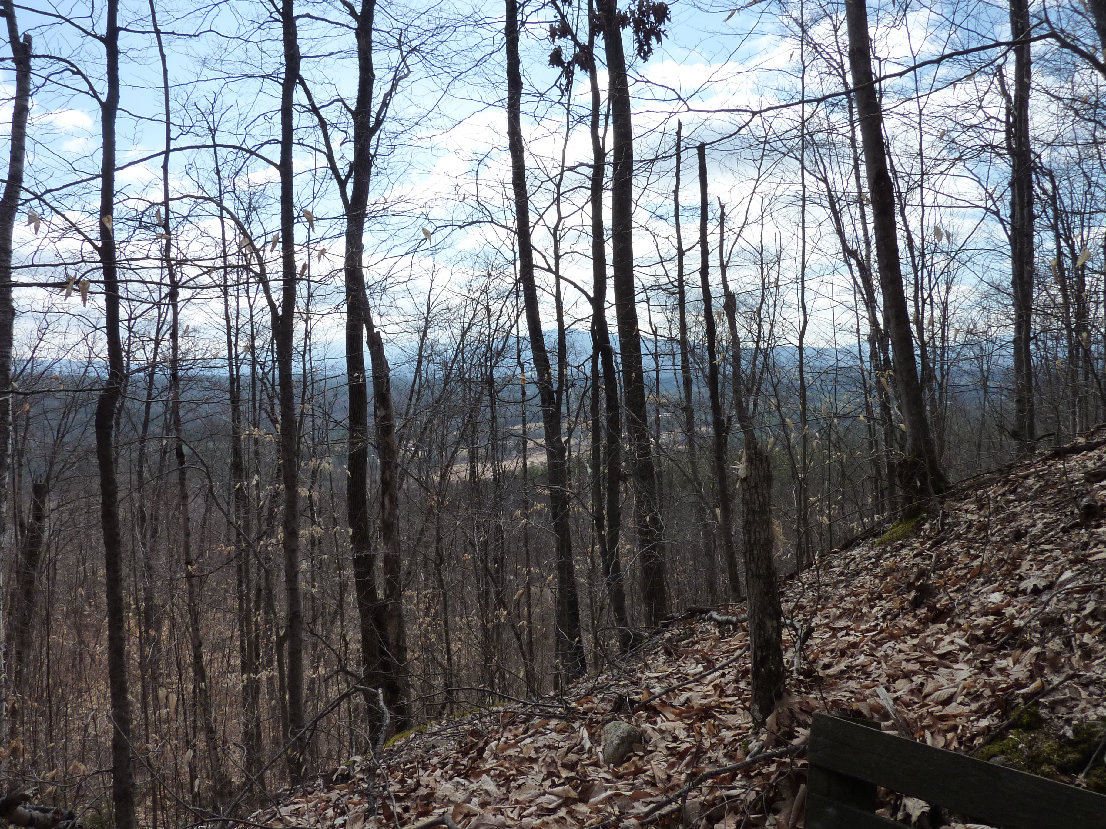
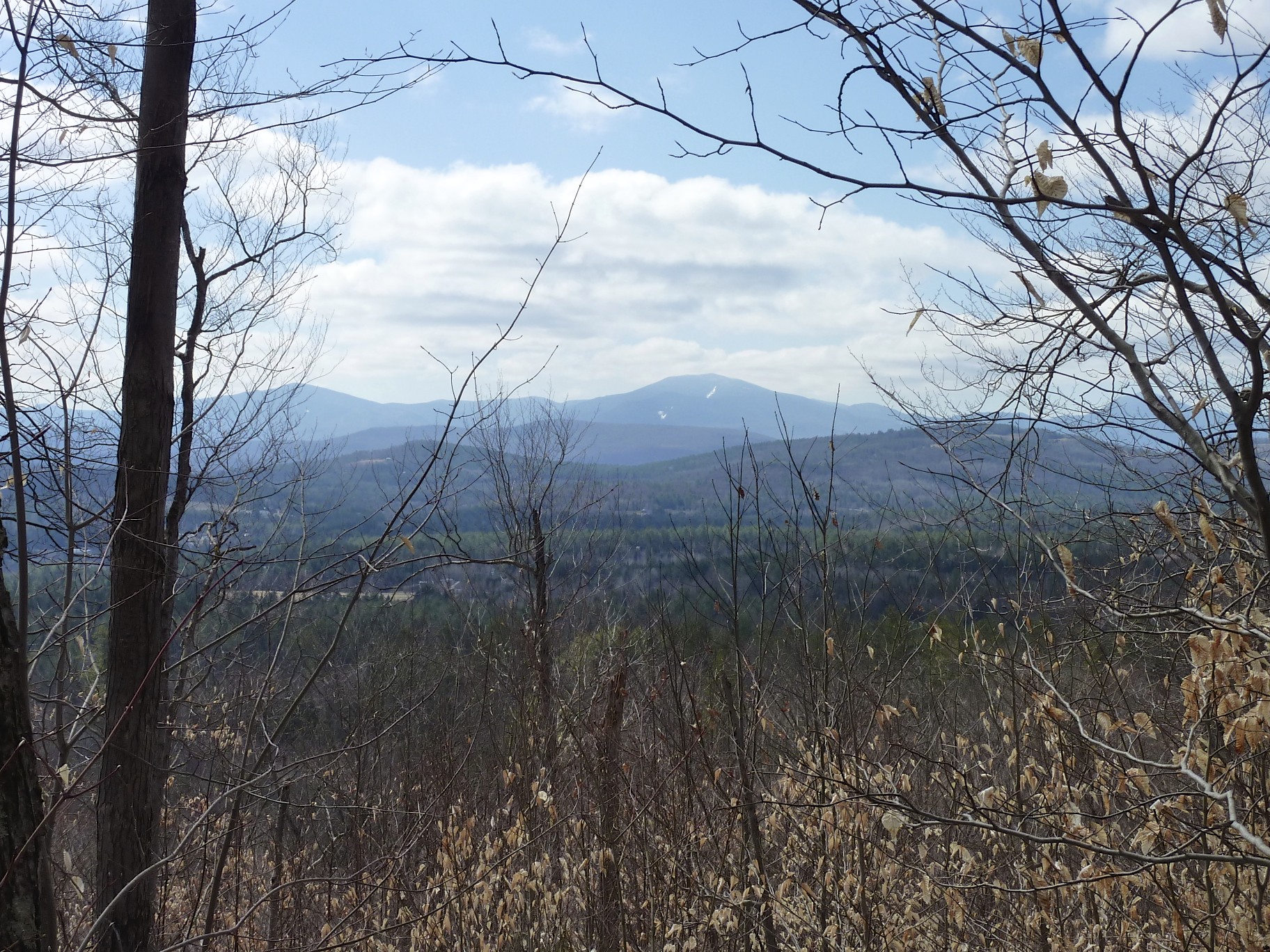
The view out was just a glimpse of the Presidentials.
Continuing on the path, it split again. We went to the left. We knew we may be on private land, but we didn’t see any signs posting private property. The trail just beckoned us to stay on it. We had one great viewing spot a little further past the table.
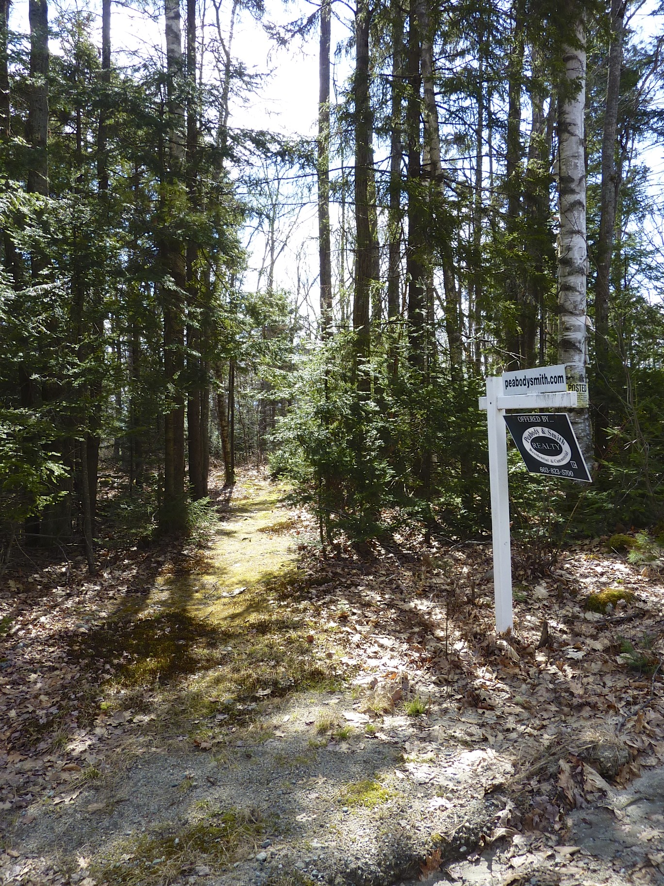
We followed the path until it launched us out on Pilotte Road to Star King Ledge Road. Sadly we discovered this land is for sale. In the future this beautifully crafted trail, after the mine, will be gone. It was here we noticed the private signs. Oops sorry…
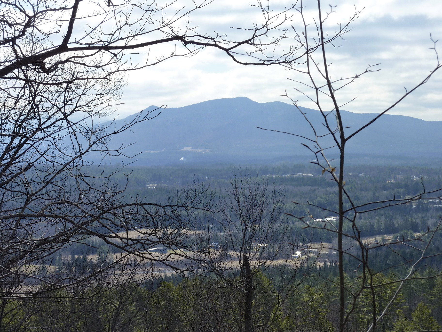
The road walk back to the David Dana Forest was a steep descent, but what a view we had.

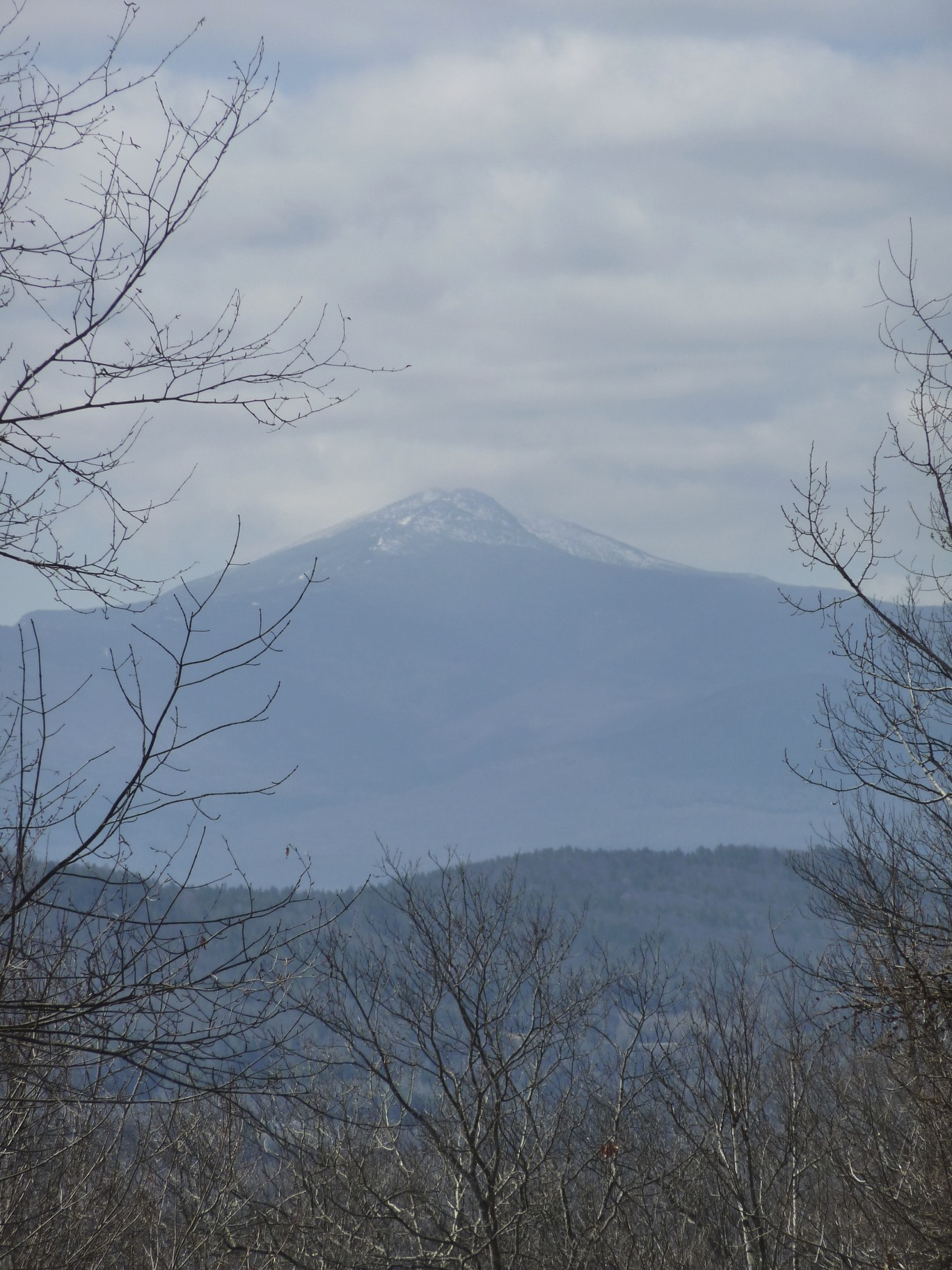
A zoomed in view of the mountain:
After a bit of road walking we re-entered the forest and connected back to the beginning of the trail to the car.
This was a hidden find, a true gem of a hike. We hope to return to hike left instead of right and see where we end up. Who knew that gold was once mined here and that someone created a gentle path after the mine? Glad we took the time to explore.
The Details: 3.8 miles, 800 feet of elevation gain, 1 hour 45 minutes. Link to more information and trail map that started the adventure for us: http://www.forestsociety.org/ourproperties/guide/?block=141

Leave a comment