Here is Mike’s version:
Went up a very long, steep hill. Saw fog. Came down same very long steep hill. Had mud and bugs. I was the grumpy hiking partner . One of those hikes that didn’t do anything for me.

Ann’s version:
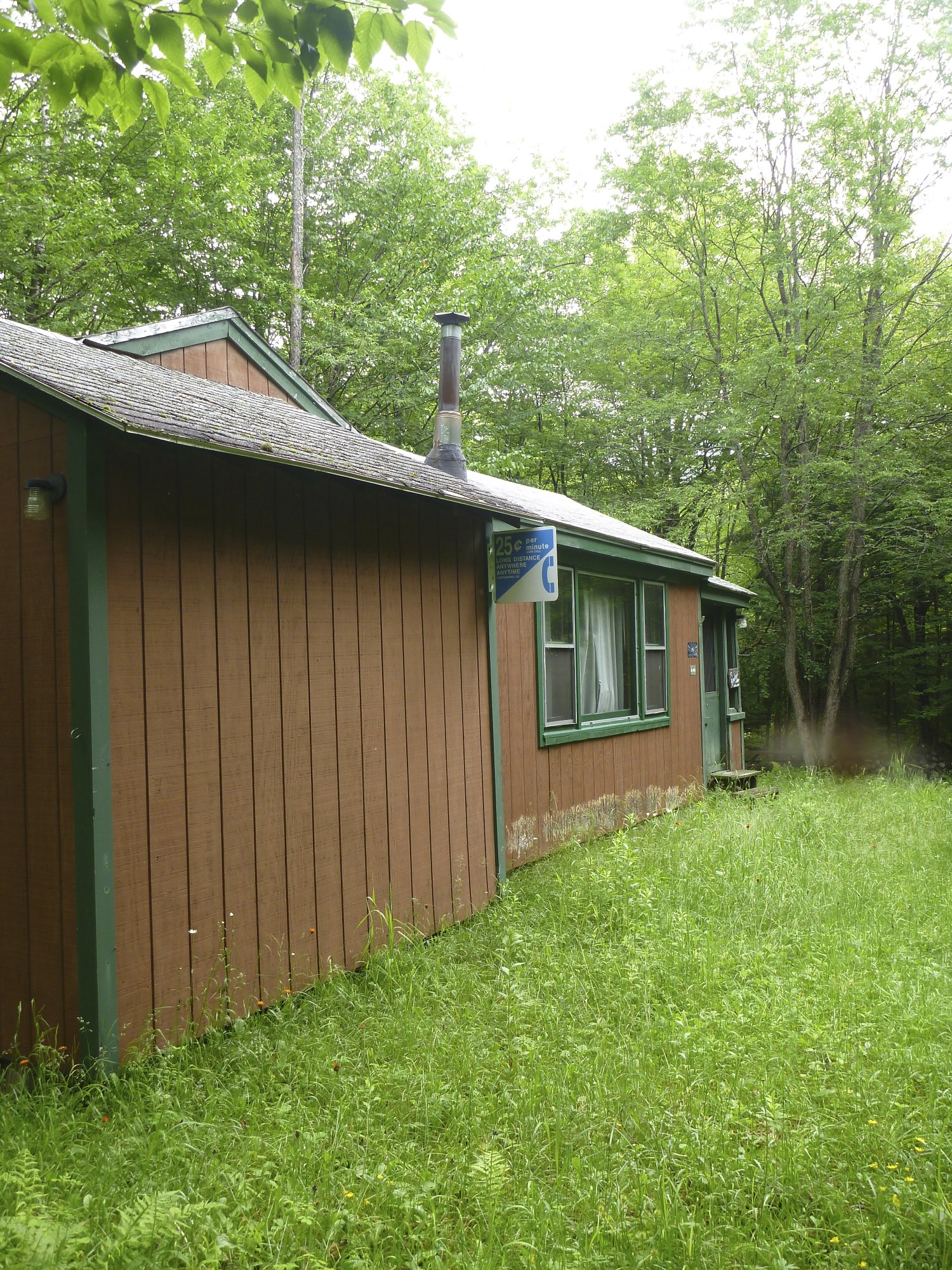
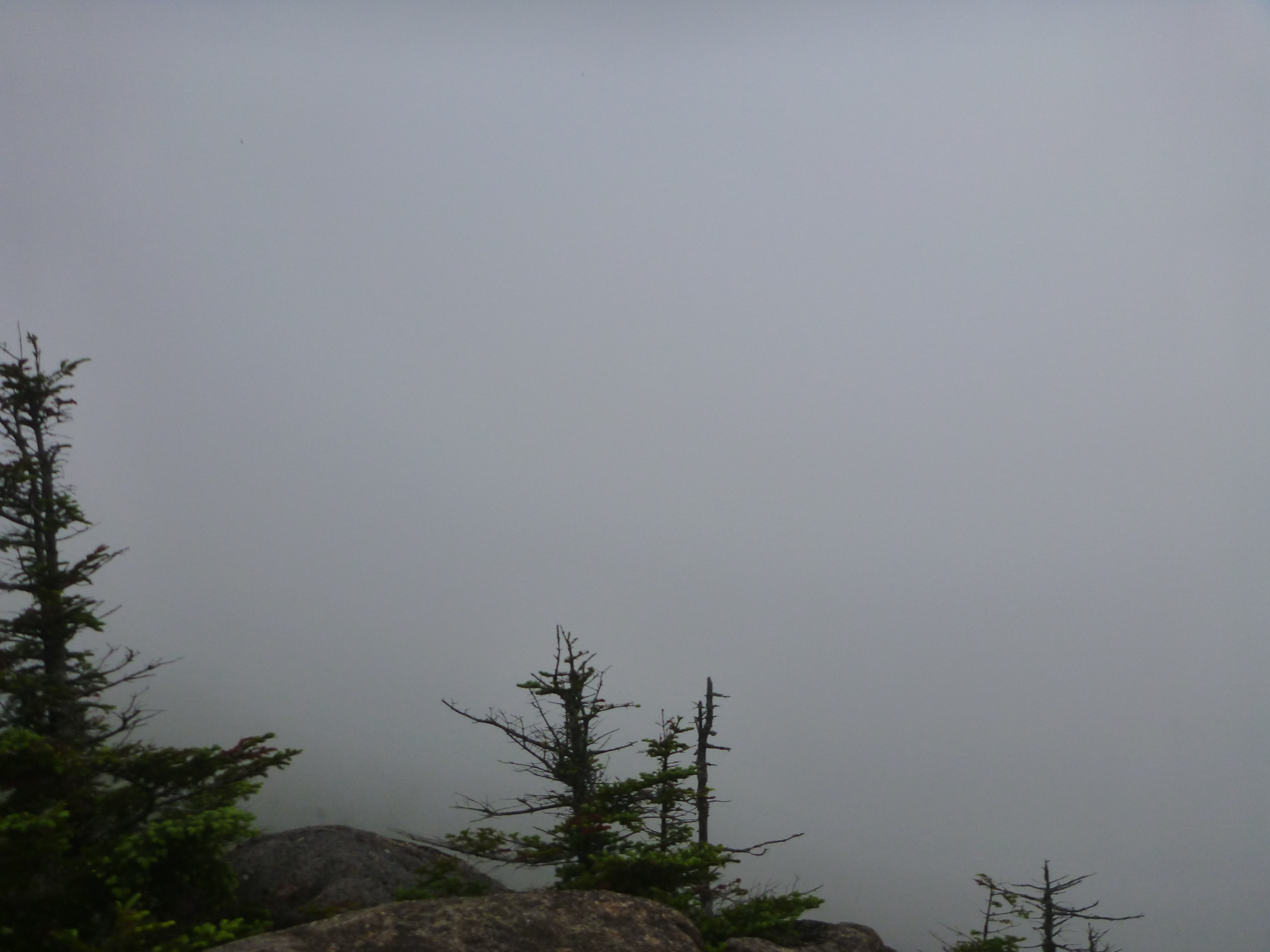
We thought the clouds/fog would lift off of Sugarloaf Mountain. We kept seeing blue sky teasing us, so decided to stick to our destination. We drove the 8.3 miles on Nash Stream Road, with the sun sometimes peeking out. Parked the car by a cabin and was immediately swarmed by gnats and mosquitoes.
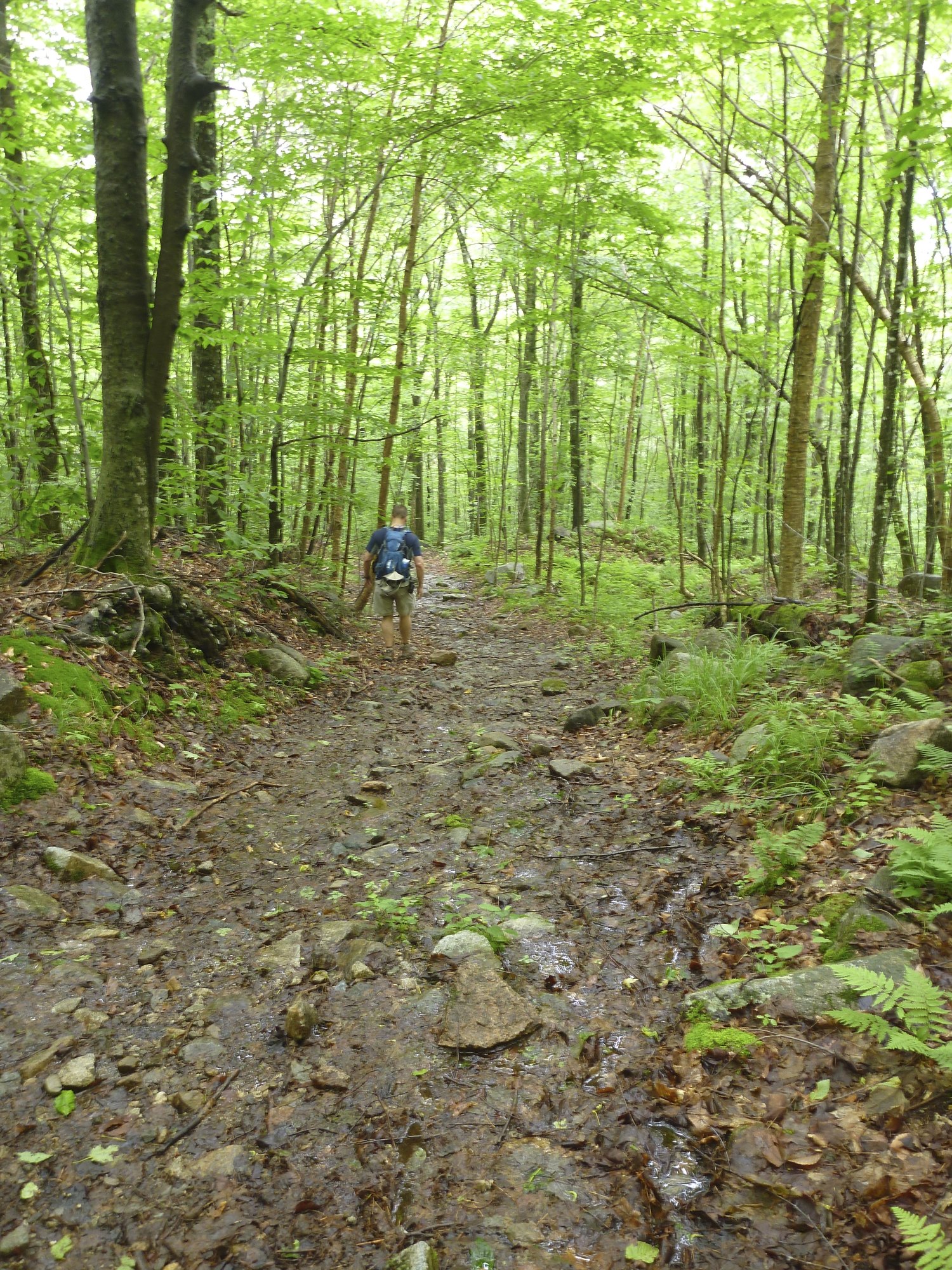
We followed a grassy path until it viewed to the right and followed the Sugarloaf Mountain trail.

We had to keep moving because of the bugs. I tried to stop to snap a picture and even the camera was attacked.

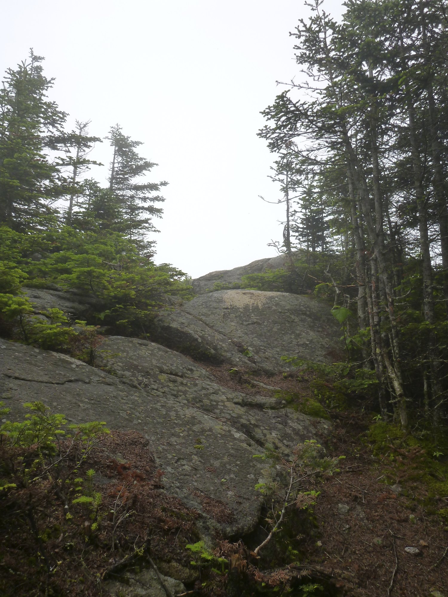
Not much to say except follow this trail and just keep going up. The trail isn’t impressive. The steepness doesn’t stop and I had to motivate myself to reach one water division channel at a time. Stop at each one, catch breath, get to the next one. I ended up thinking this was just a workout hike, to keep me in a good mood. I could tell Mike wasn’t enjoying the trail.
Even in the mud section, where I swear the mud monster is lurking to suck your shoe off, you are going up. Walking through the mud avoiding this monster was a better way to go than rock hopping. The rocks were very slippery.
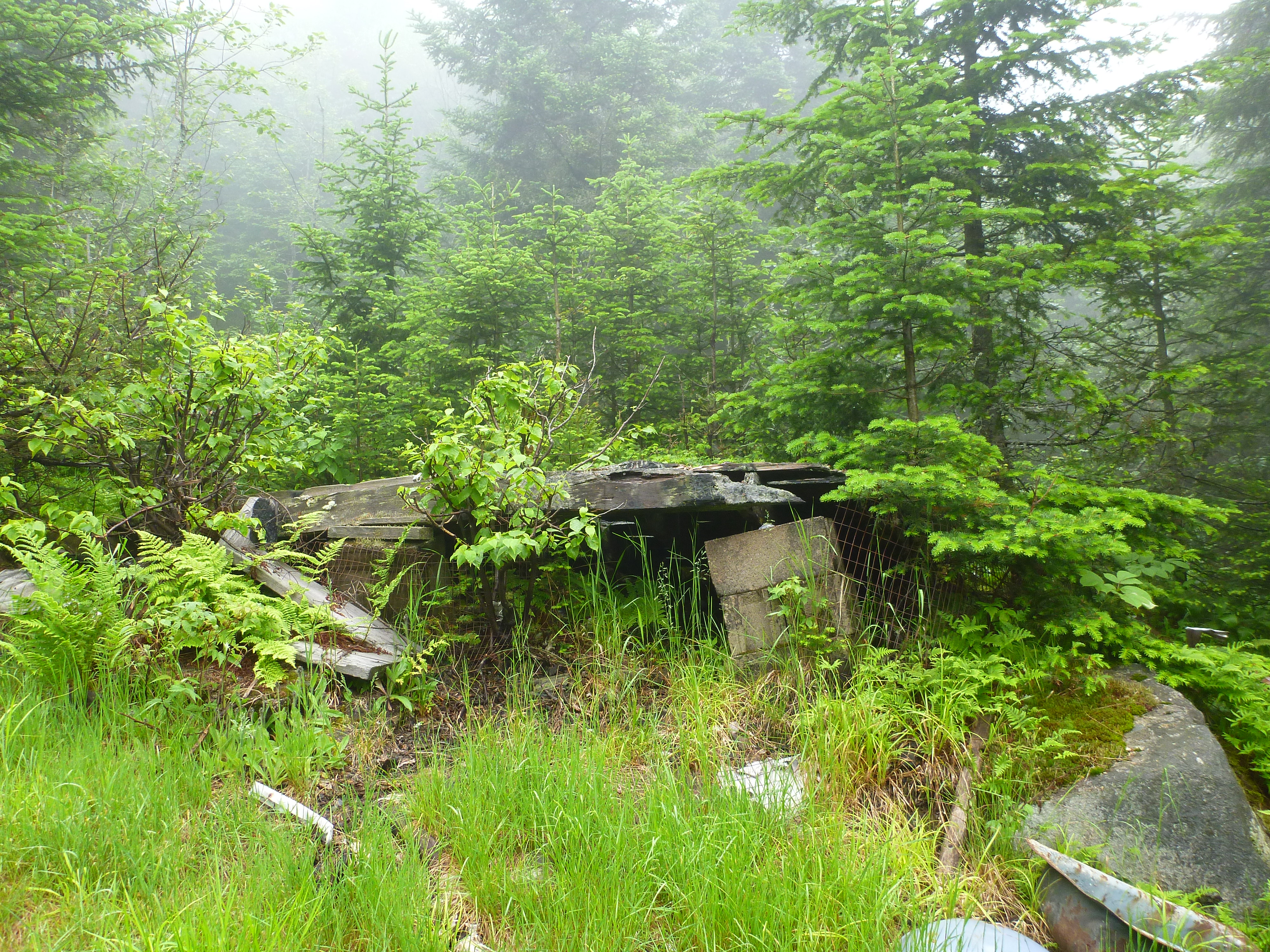
At 1.5 miles we reached the old fire warden’s hut, that is now a jumbled mess of wood and tin.
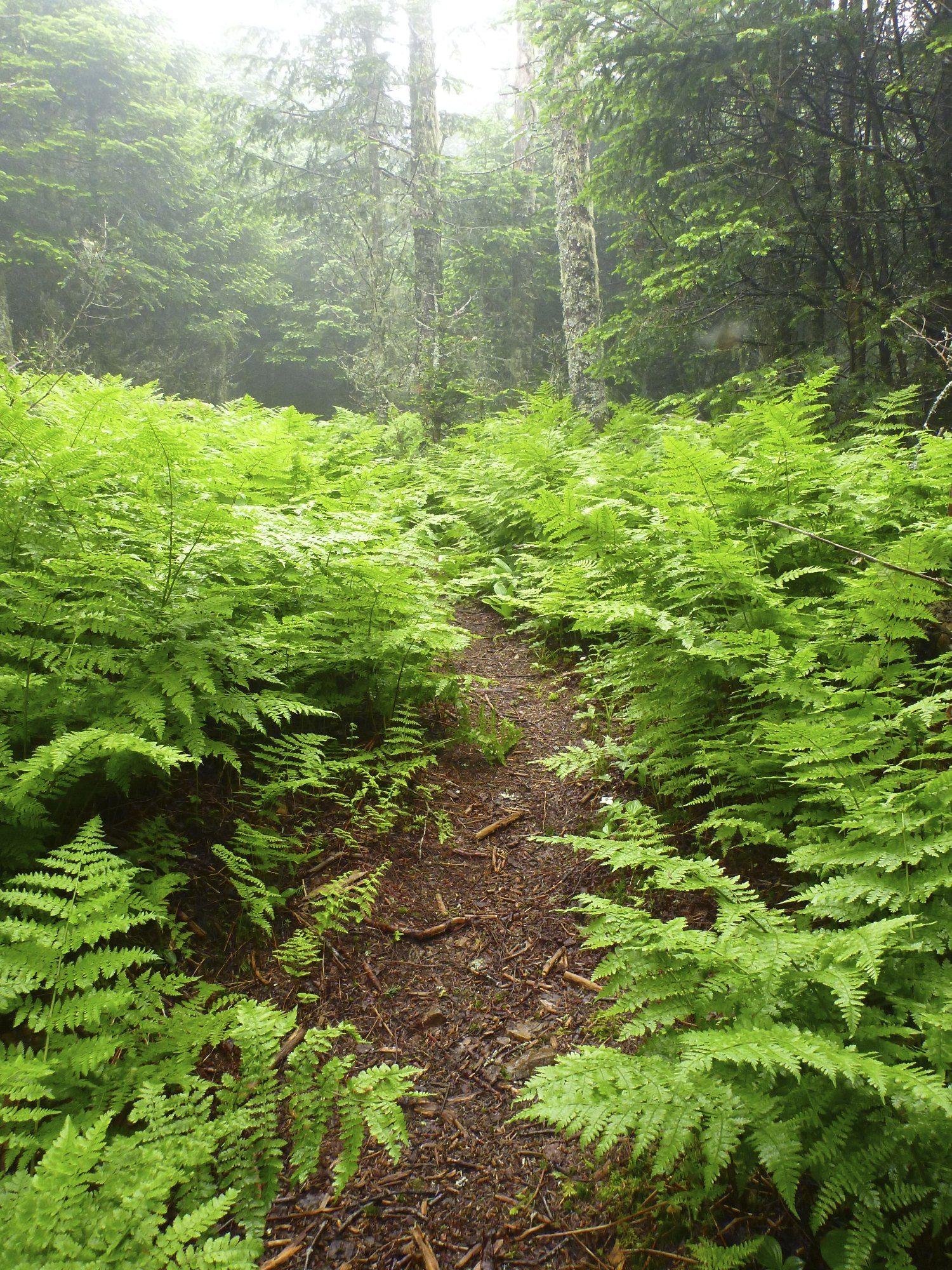
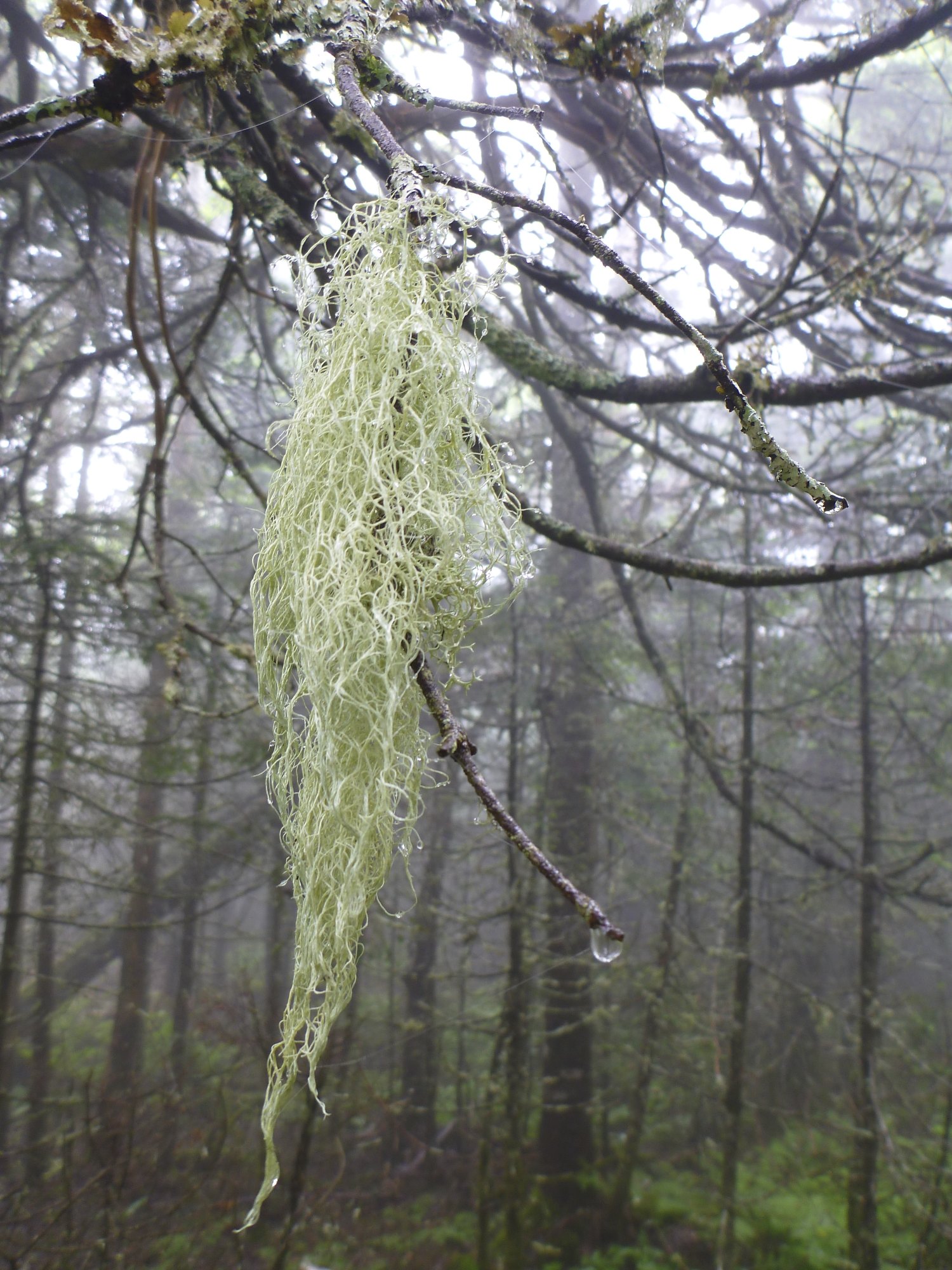
After this the forest transformed into a Boreal Forest. The trail was beautiful for the next .6 miles and the grade seemed a little easier.

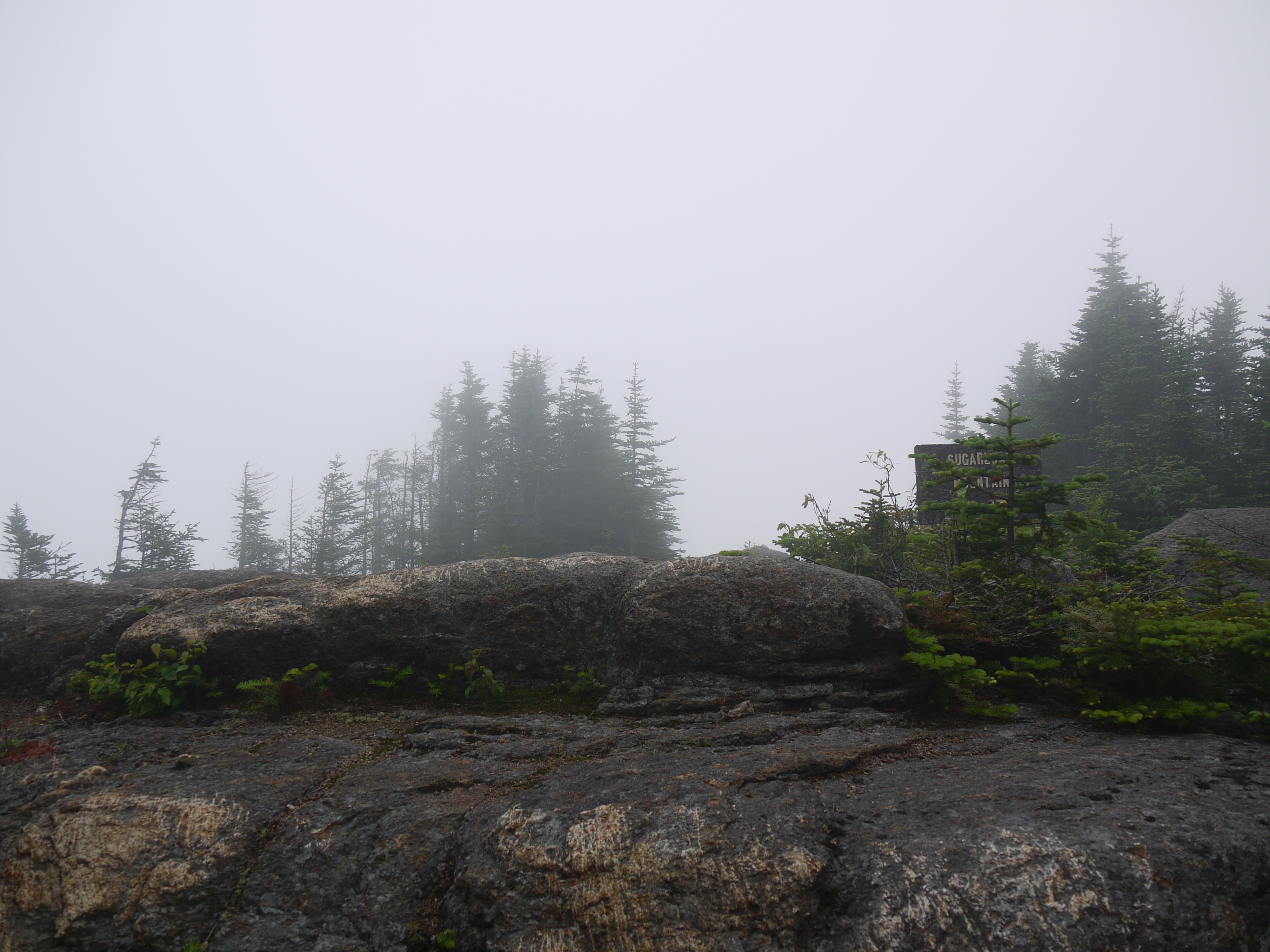
I had a spring in my step, so we made good time to the summit.
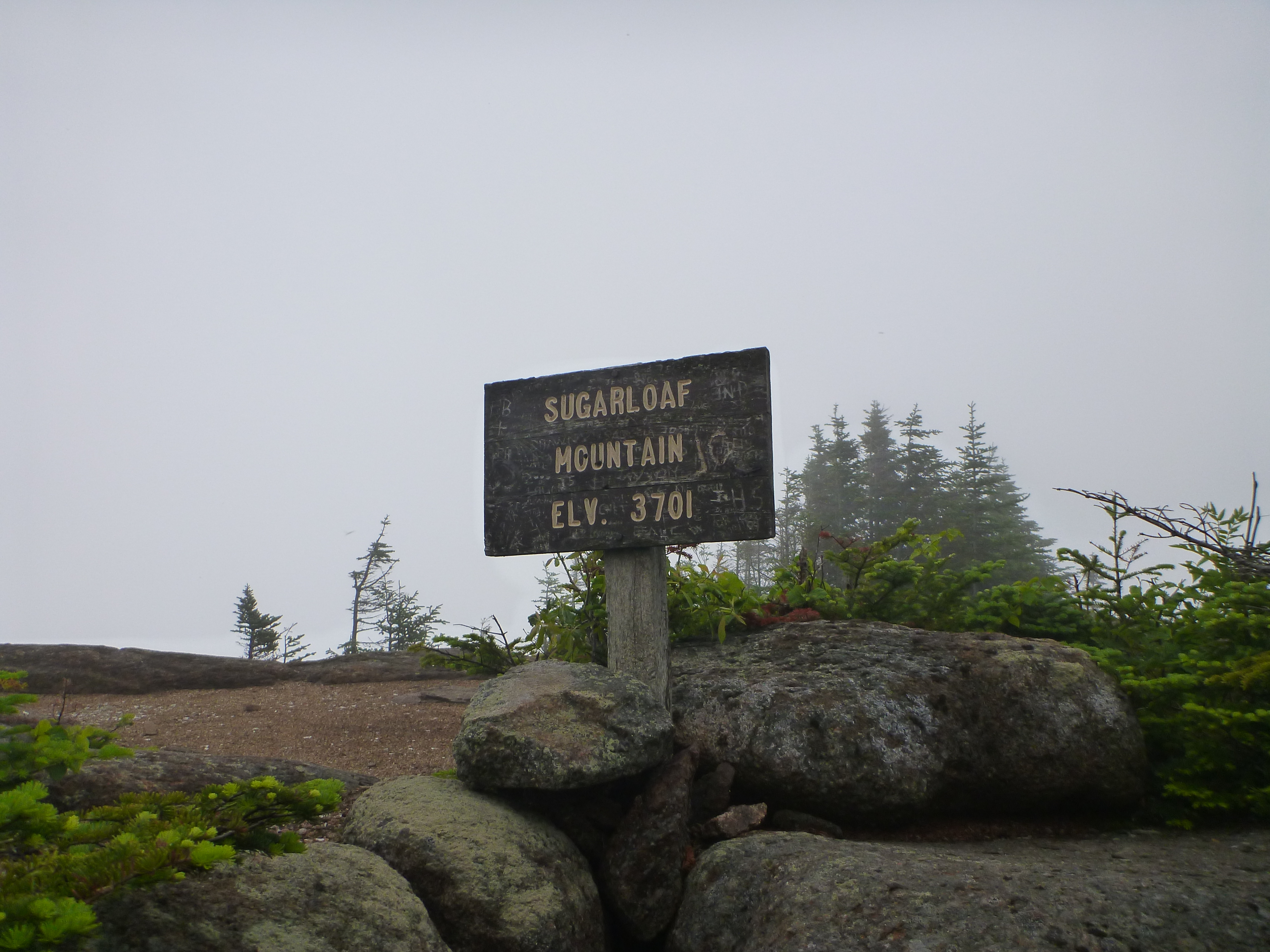
We stood around and ate a few pieces of food quickly. The bugs at the summit didn’t take a break and we snapped a few pictures of the fog that surrounded us.
Down we went at a good clip. I tried to cheer up my grumpy hiking partner, told him we just had a great workout and it helps to look at it that way. Usually I’m the grumpy one, but I enjoyed battling the mud monster, laughing as he didn’t get my shoes and that kept my spirits light.
The Details: Park on Nash Stream Road in Stark. 4.1 miles, 2200 feet elevation gain. Total time was around 3 hours, 1 hour 6 mins. it took us to come down.

Leave a comment